


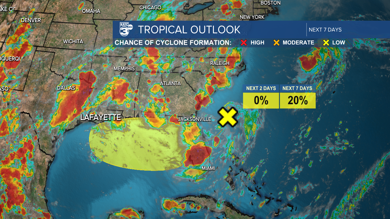
There haven't been significant changes in the tropical outlook since yesterday. A trough of low pressure is located near the southeast coast, leading to disorganized showers and thunderstorms in the region. This system is expected to move westward across Florida and into the northern Gulf over the next couple of days. Gradual development of this system is possible later in the week.
Breyanna Lewis/KATC
Regardless, a surge of tropical moisture will move into Louisiana, causing increased rainfall coverage, higher rainfall rates, and potentially an elevated risk of flooding in Acadiana.

Breyanna Lewis/KATC
Hot start to the new work week.
See the KATC 10 Day Forecast for the latest.
