
Tomorrow, we're bracing for a strong cold front that will bring widespread showers and a chance of storms.
The rain is expected to start in Central Louisiana after midnight and will make its way into Acadiana a few hours before sunrise.
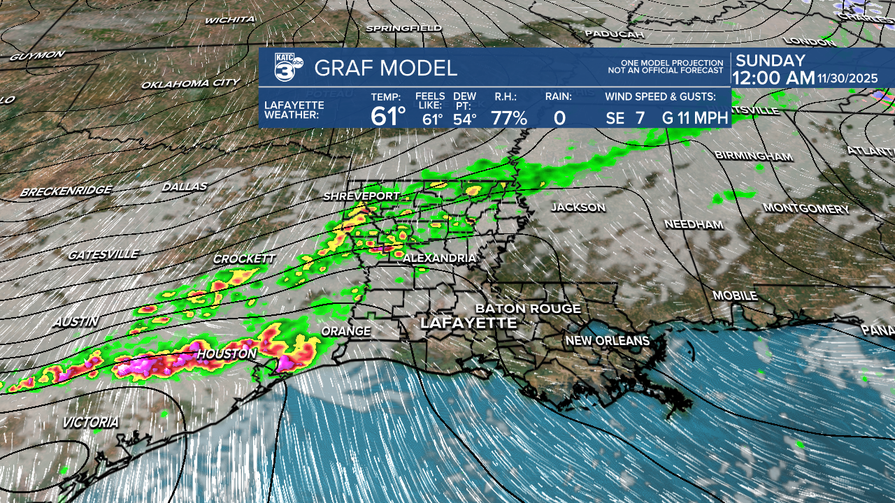


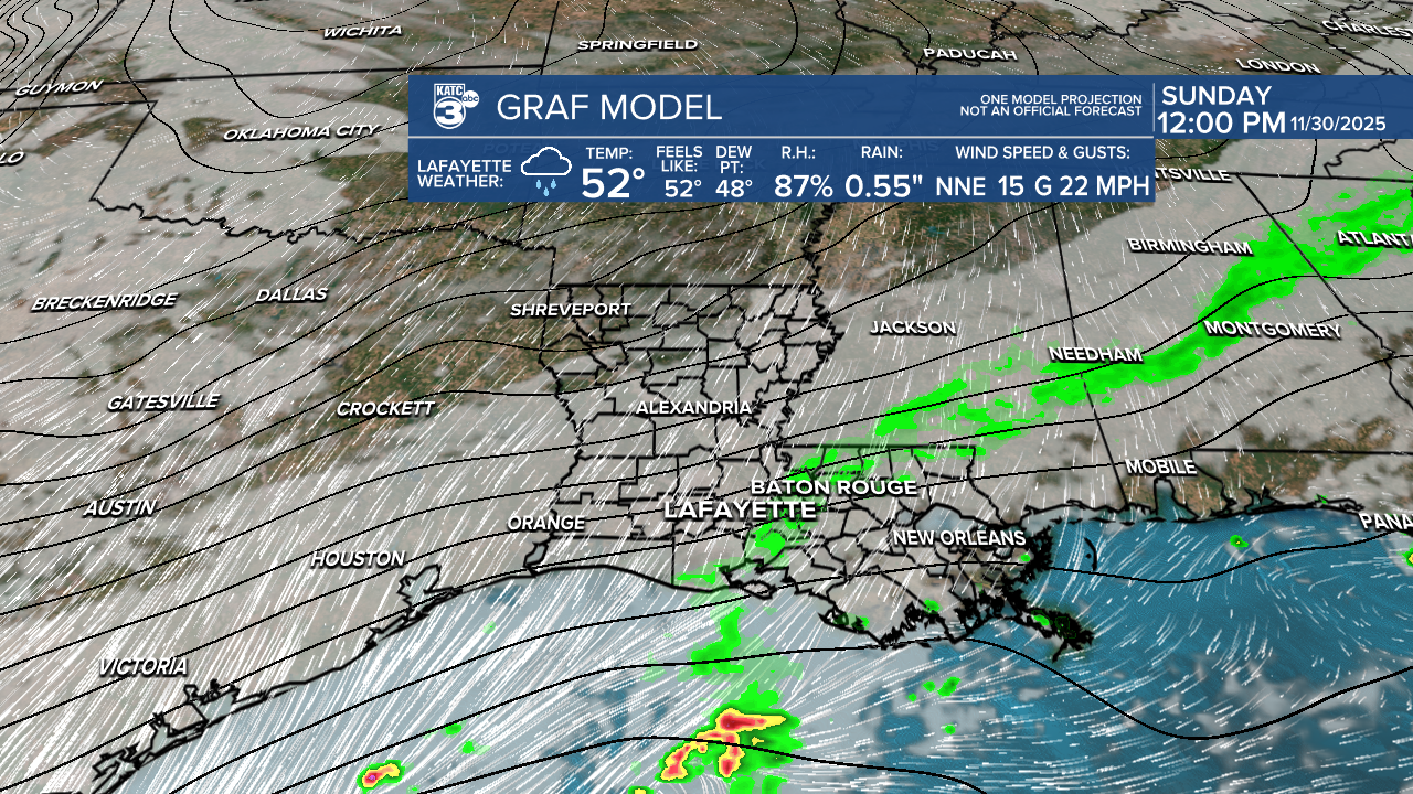
Eastern Acadiana can anticipate showers around 8 or 9 AM, but don’t worry—it won’t be an all-day event!

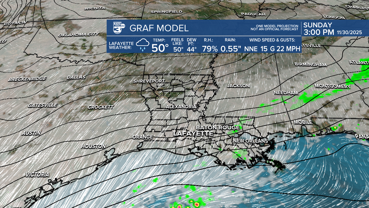
Most of the rain should move out before midday, giving us a brief break before another system rolls in on Monday.
In terms of severe weather, there’s a marginal (1/5) risk for storms in our western parishes.

The main concerns are gusty winds and possibly large hail, with a secondary threat of a brief spin-up tornado.

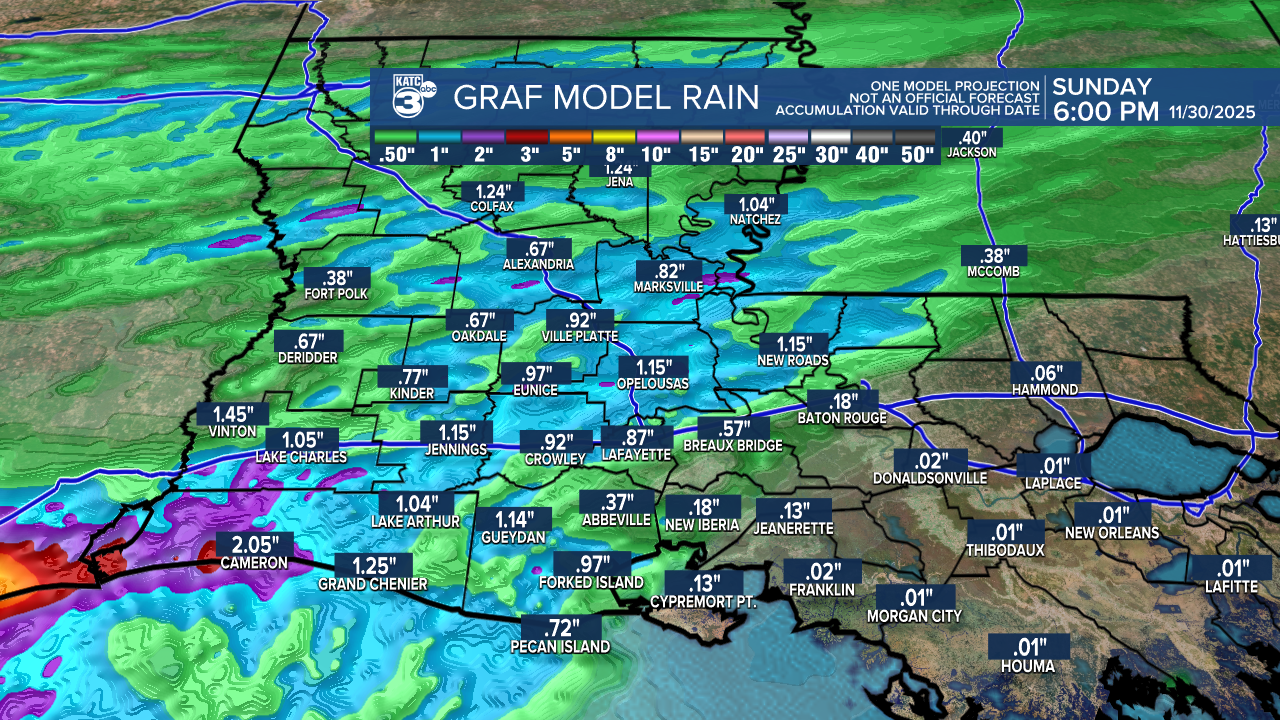
We don't expect high rainfall amounts with this system. Most areas should see around a quarter inch to just over an inch of rain.
After the front passes, expect chilly and breezy conditions, especially in northern Louisiana, where temperatures dip into the 40s.

Here in Acadiana, we'll see highs struggling to stay in the 50s, with a few lucky cities making it into the low 60s.

As we wrap up November, it looks like we’ll be saying goodbye to the month on a rainy note!

A series of upper-level disturbances is headed our way, bringing the potential for heavy rainfall and a marginal (1/5) risk for flash flooding on Monday. Expect an additional 1-2 inches of rain, with higher amounts possible in some storms. While the rain may be a hassle, it will provide much-needed relief to areas experiencing severe drought.


For areas like Arkansas, there’s a chance of a wintry mix early Monday. For us, expect a chilly rain on Monday afternoon that should taper off early Tuesday. A cold front will sweep in, bringing cool and dry air for a few days. However, this will be short-lived as another system is set to arrive later in the week.


After the storm passes, Tuesday afternoon highs barely escape the 40s. The rest of the week, highs will hover mainly in the 50s and 60s.
Keep an eye on those overnight temperatures—they’ll drop close to freezing , especially by early Wednesday.
Follow Meteorologist Breyanna Lewis for further updates.
See the KATC 10 Day Forecast for the latest.
