


An incoming upper-level trough will enhance our chances for showers and storms this weekend! The severe weather threat remains unchanged for tomorrow evening and night. Acadiana is still split between a marginal (1/5) and slight (2/5) risk for severe storms.

The main threat includes damaging winds, a brief spin-up tornado or two, and or large hail.

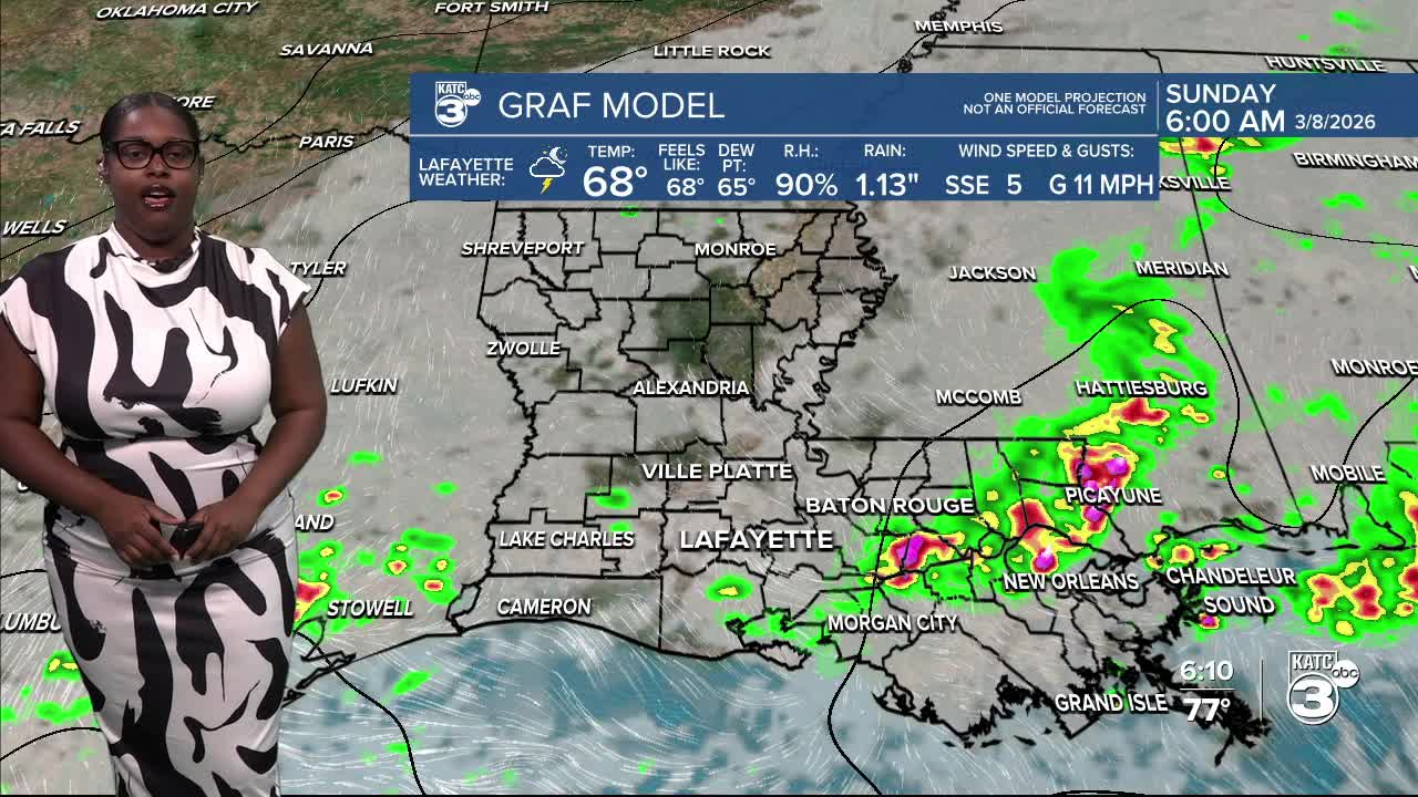
Saturday looks mostly dry, but a few streamer showers and storms can be expected. Keep the umbrella nearby! The main line of storms is expected to move in late Saturday, just before midnight for our western parishes, and will continue to sweep through the rest of Acadiana until around 4 or 5 AM, exiting St. Mary Parish. Timing may vary slightly depending on the speed of the storms.

Heavy rainfall is also a concern, with the potential for localized flash flooding—especially in areas north of I-10, which are under a marginal (1/4) to slight (2/4) risk.

Rain totals may reach up to 2 inches, with some isolated spots potentially receiving 3-4 inches this weekend.

Looking ahead to Sunday, no severe weather is anticipated, but a few strong storms could develop, along with a marginal (1/4) threat of flash flooding due to heavy rain.


Next week is likely to bring another round of severe storms on Thursday, with CENLA under a slight (2/5) risk.

Follow Meteorologist Breyanna Lewis for further updates.
See the KATC 10 Day Forecast for the latest.
