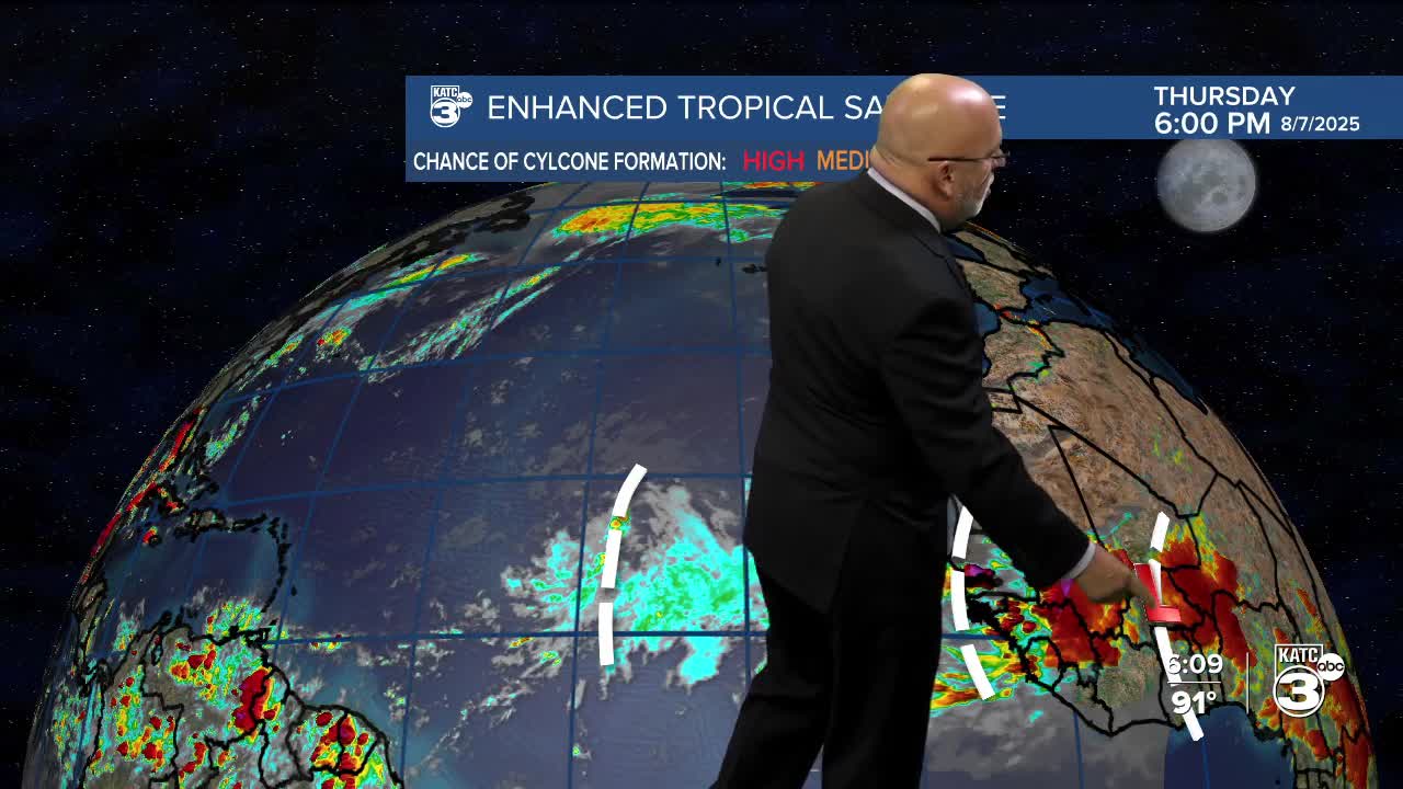


Still tracking multiple systems in the tropics!
One of the main topics of discussion is the high temperatures. Personally, I wouldn't want to be in northern Louisiana with highs reaching 100°. South of I-10, temperatures are a bit more moderate, with highs in the low 90s. However, the "feels-like" temperatures rise into the upper 90s to low 100s.

Breyanna Lewis/KATC

Breyanna Lewis/KATC
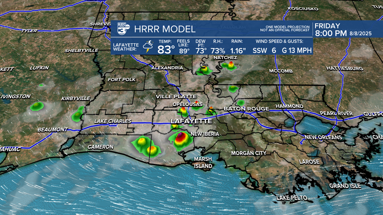
As we approach Friday and the weekend, there is still a possibility of scattered activity, mainly along the Gulf Coast, where higher rain chances are expected. For the most part, we can anticipate mostly sunny to partly cloudy skies.

Breyanna Lewis/KATC

Breyanna Lewis/KATC
Breyanna Lewis/KATC
See the KATC 10 Day Forecast for the latest.
Follow Meteorologist Breyanna Lewis for further updates.
