


Well, we once again smashed our morning low temperature in Lafayette at 73°.
We'll once again challenge the record tonight as lows settle into the lower 70s.
It'll be a mild and muggy night with light sprinkles/mist possible at times.
Patchy fog could also be a possibility, but with clouds and a little bit of a breeze out there, that should limit the development to a degree.
Plenty of clouds through our Friday morning will give way to some intervals of sunshine into the afternoon.
It'll stay warm as temperatures top out in the upper 70s to lower 80s.
Winds will be breezy out of the SSW at ~10-15 mph by mid-morning and into the afternoon.
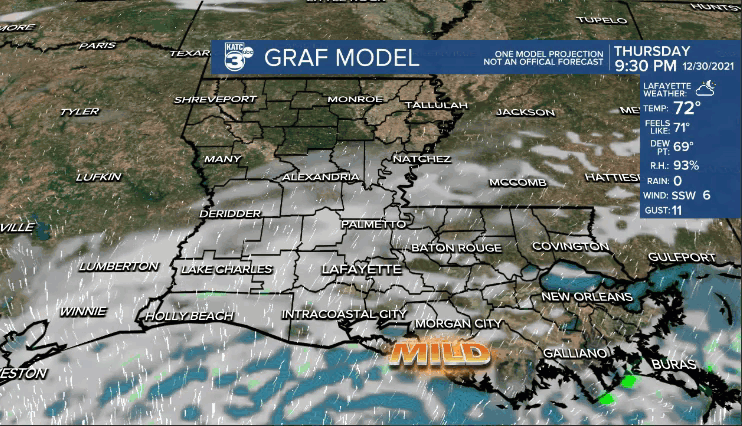
Mild (lower 70s), but dry as the clock strikes midnight tomorrow night.
Warm, muggy, and windy heading into New Year's Day.
Afternoon highs will approach the lower 80s.
Winds will be very gusty out of the south at ~20-30 mph with gusts at times even a little higher than that.
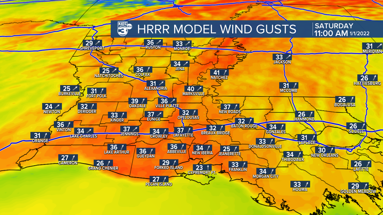
Scattered showers and a few thunderstorms will become more likely Saturday afternoon and into the evening hours as a strong cold front moves in from the north.
The greatest threat for severe weather likely will setup off to our north.

In fact, most of Acadiana is not even under a severe risk level(Exception being extreme northern portions of the viewing area—-Level 1 out of 5).
But regardless, winds will be gusty on Saturday, so be sure to tie down or bring in any loose objects you may have outside.
Might want to keep those objects secure heading into Sunday as well as winds will remain breezy behind the frontal passage.
It'll be sharply colder on Sunday as temperatures fall through the 40s throughout the day.

And with that brisk northerly wind in place, wind chills will be in the upper 30s/lower 40s all day long.. BRRR.
Although that is chilly on any given day, it'll likely seem that much colder since we've been in the 70s/80s the last several days.
Close to freezing temperatures Monday morning.
It'll stay cool-chilly through Tuesday before a warmup into mid-week.
Another front could arrive by the end of the week, but we'll see how that plays out in the days ahead.
