


Rain chances will decrease for Acadiana for the rest of the week with fair to partly cloudy skies accompanied by seasonably warm temperatures.
A weak front should arrive Saturday bringing the chance of scattered showers and thunderstorms, followed by a warm and dry pattern into early next week.
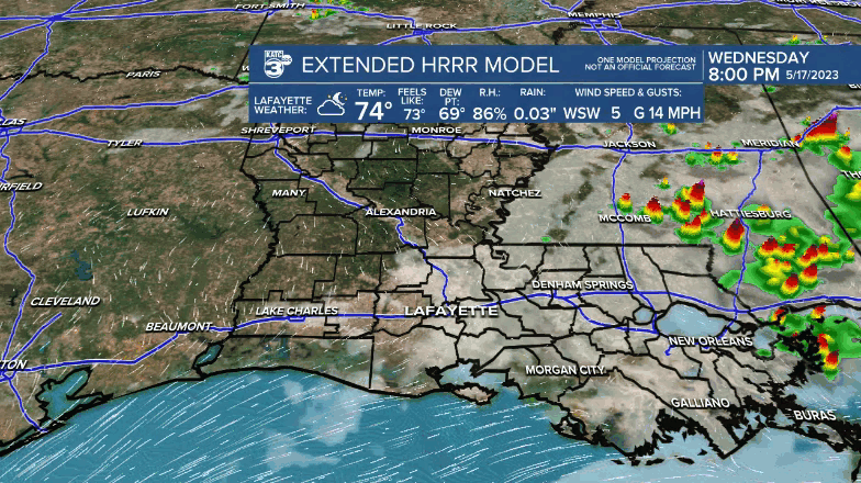
In the near term, expect a relatively quiet night ahead with clouds thinning, temperatures dropping into the mid-upper 60s along with the possibility of some patchy fog by daybreak, especially across the coastal Acadiana parishes.
Mostly sunny skies with a cloud and sun mix is expected for our Thursday and Friday with temperatures near the 90° each afternoon.

A weak front is expected to push through the area Saturday with the chance of scattered showers and a few thunderstorms, with rain chances for now in the 40% range.

Temperatures before the front Saturday should still manage to reach the 90° mark.
Lingering clouds should hold our temperatures closer to the mid-upper 80s Sunday.
Sunshine and dry conditions should mark early next week followed by the returned chance of scattered, primarily daytime, showers and a few thunderstorms Wednesday into Thursday.
For now, Friday and the ensuing Memorial Day weekend is looking pretty nice.
See the KATC 10 Day Forecast for the latest.
------------------------------------------------------------
Stay in touch with us anytime, anywhere.
To reach the newsroom or report a typo/correction, click HERE.
Sign up for newsletters emailed to your inbox. Select from these options: Breaking News, Evening News Headlines, Latest COVID-19 Headlines, Morning News Headlines, Special Offers
