


Acadiana's sedate and unseasonably warm weather pattern will come to an end Wednesday with strong to possibly severe storms followed by a much cooler, blustery fall pattern that will likely carry into the weekend.
In the near term, expect another fair and mild night for Acadiana with slightly cooler readings in the mid-60s by daybreak courtesy of light and variable to northeast winds.
Some patchy ground fog may again develop toward daybreak but should burn off quickly early Tuesday morning.
Another nice and warm day is on tap for Acadiana Tuesday with a general increase in mostly high level cloudiness expected throughout the day.
Look for highs Tuesday in the mid-80s...at least a few degrees cooler than our Monday which were pushing 90°.

Southerly winds will turn and begin to "freshen" across the area Tuesday night into Wednesday ahead of a strong cold front that will push through the region into Wednesday night.

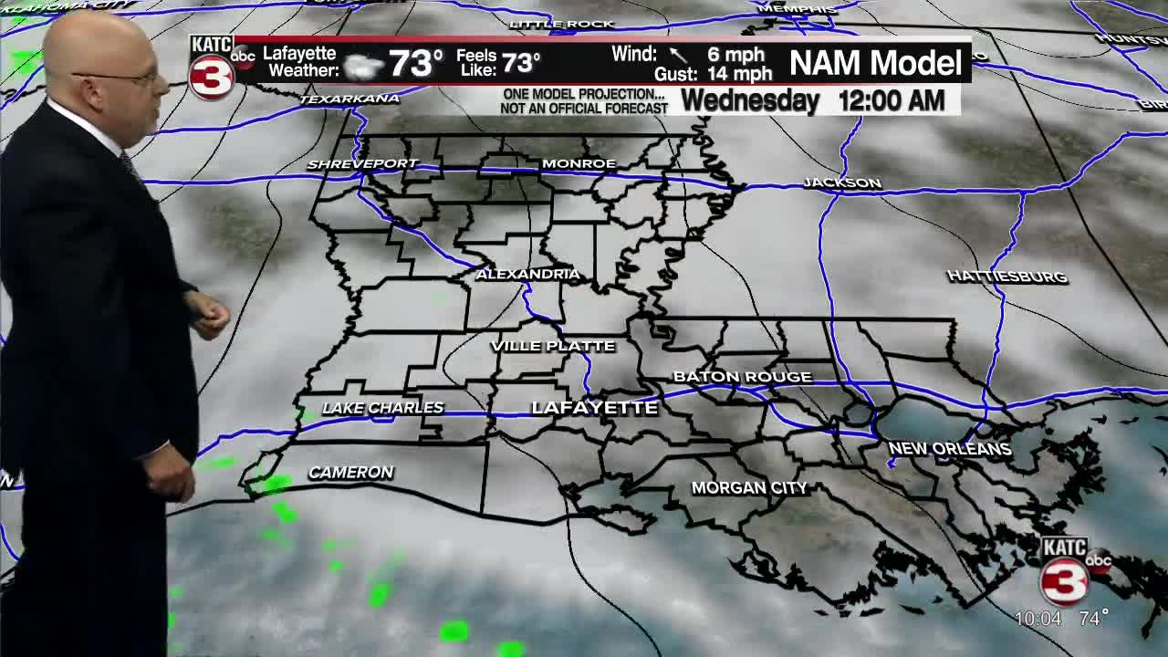
Showers and storms will be likely Wednesday (at least 90%), with latest models favoring a possible window during the afternoon hours...of course, the timing will be refined Tuesday.
Per the Storm Prediction Center (SPC), there could be the risk of a few severe storms with a squall line in the region capable of producing damaging winds, isolated tornadoes, and perhaps some hail.
A "weather watch" (likely tornado) may be possible for most of Acadiana at some point Wednesday.
The storms should rip through Acadiana quickly, so rain totals should be generally less than an inch or two...no flooding is expected at this time.

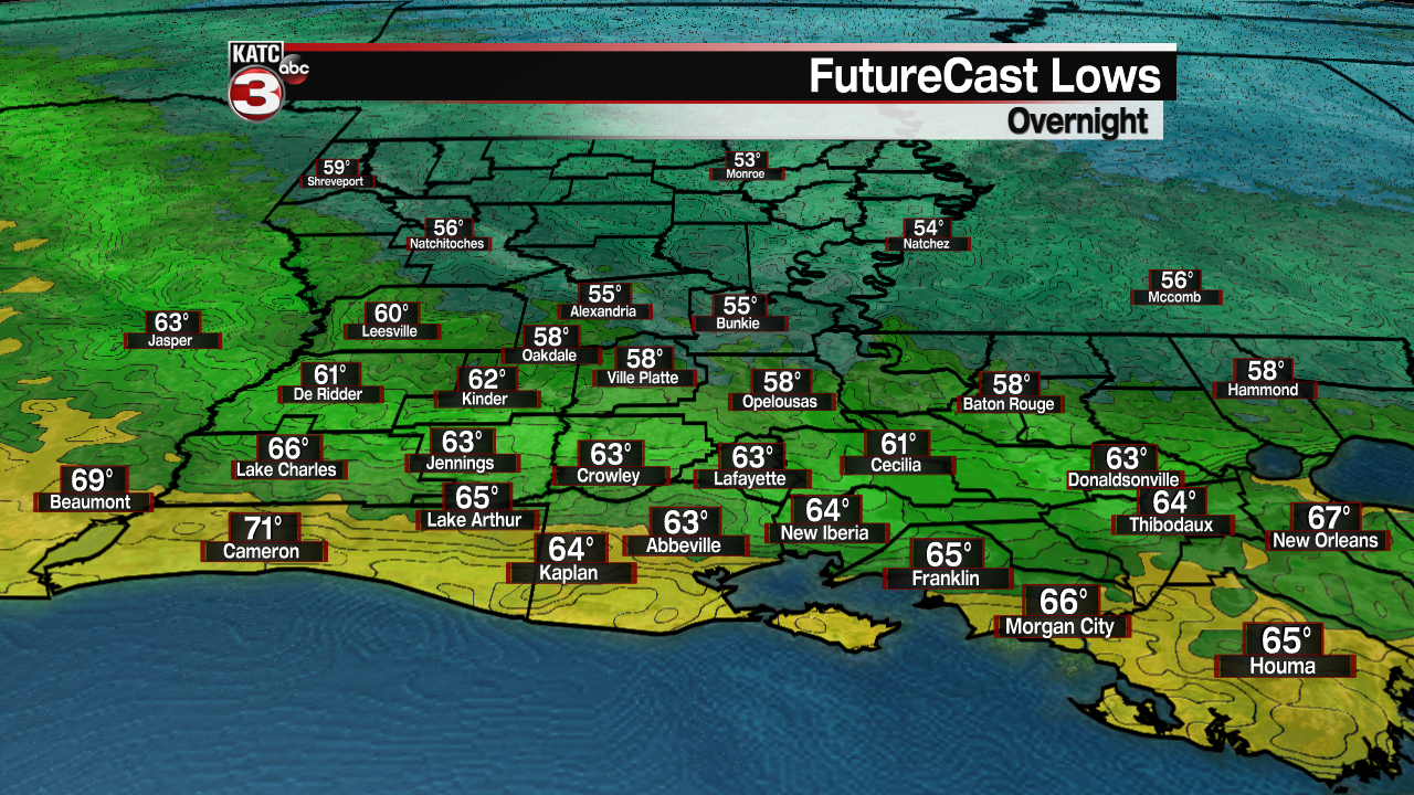
Storms are expected to exit the Acadiana area by Wednesday evening with windy and much cooler weather to follow into Thursday morning.
Conditions behind the front appear to be quite robust with gusts expected to push 30-35 mph from the northwest on Thursday under partly cloudy skies.
Temperature-wise, after pushing 80° Wednesday, look for readings to drop into the upper 50s to lower 60s by Thursday morning.
It only gets cooler and more fall-like from there with plenty of sunshine Friday into the weekend with highs barely reaching the lower 70s while night-time lows could dip into the upper 40s to lower 50s, especially for Saturday morning.
The pattern looks seasonably cool and rather quiet most of next week...see the KATC 10 Day Forecast for the latest.
------------------------------------------------------------
Stay in touch with us anytime, anywhere.
To reach the newsroom or report a typo/correction, click HERE.
Sign up for newsletters emailed to your inbox. Select from these options: Breaking News, Evening News Headlines, Latest COVID-19 Headlines, Morning News Headlines, Special Offers
