


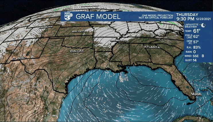
Temperatures tonight will not be quite as cool courtesy of a light southerly wind.
Overnight lows will settle into the mid-upper 50s.
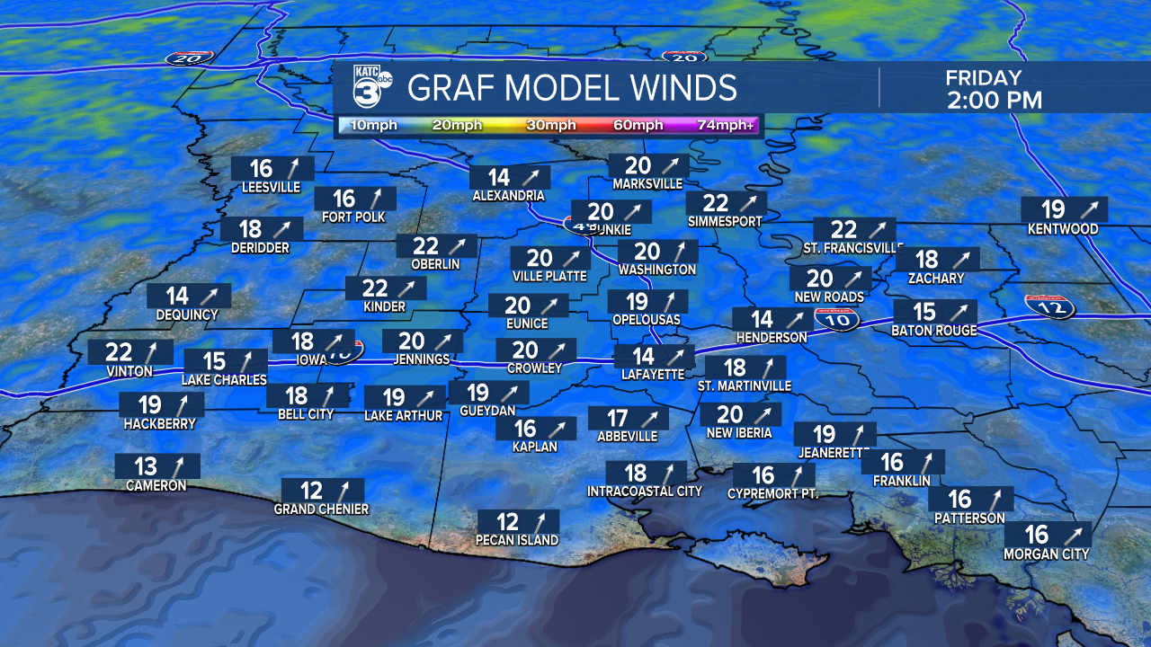
Expect fair-partly cloudy skies for Christmas Eve as temperatures push the upper 70s into the afternoon.
Winds will be breezy out of the SSW at ~15-20 mph.
Mild for Santa Christmas Eve night heading into Christmas Day.
We'll see a morning start in the mid-60s.
Unseasonably warm Christmas Day with temperatures climbing to near 80° by the afternoon under a partly sunny sky.
Record high temperature for Lafayette on December 25th is 80°.
Winds will stay breezy out of the SW.
Similar set-up heading into Sunday to round out the holiday weekend.
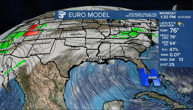
The pattern will remain warmer than normal for all of next week.
Isolated rain chances will return for the mid-latter parts of next week.
Temperatures near record territory through New Year's.
A front could arrive by day 10, but we'll see how that plays out in the days ahead...
Have a great Christmas weekend!
