


Acadiana remains on track for a potent severe weather threat Tuesday with an enhanced to moderate risk of severe storms that may contain isolated strong tornadoes, damaging winds and some large hail.

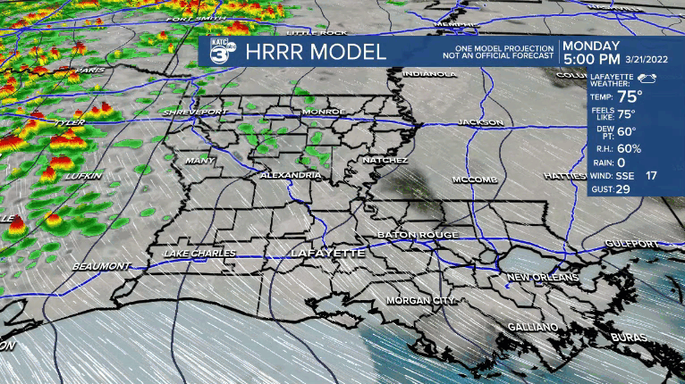
Out ahead of the storms, expect breezy conditions overnight with wind gusts increasing tomorrow morning ahead of strong to severe storms rip through the area.
The Storm Prediction Center (SPC) puts most of Acadiana in relatively high storm threats (levels 3 and 4 out of 5) for the region, with the strongest severe weather ingredients for the area available to date this spring.

In the moderate risk area (in which Acadiana may fall into once every year or two) there will be the most significant chance of a few strong tornadoes, of EF2 or greater strength (111-135 mph winds).

The most vulnerable parishes in Acadiana for damaging tornadoes will be in Evangeline, St Landry and Avoyelles, but Acadia, Lafayette and Upper St Martin could see a few strong rotating cells initiating here.
Elsewhere across the enhanced risk area (which includes all of Acadiana) there may be the chance of damaging winds in excess of 70 mph and some hail too.
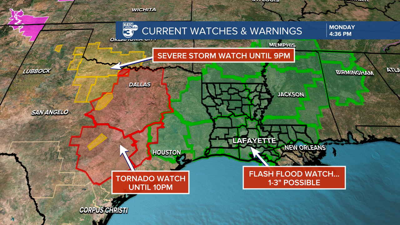
Expect tornado watches for most if not all of Louisiana, including all of Acadiana Tuesday.
Storm prime-time Tuesday looks to be from mid-morning through the mid-afternoon hours...give or take an hour.
In addition to the severe storm threat, ahead of what is expected to be a squall line it will become quite windy starting as early as Monday night with gusts to 35 mph possible.

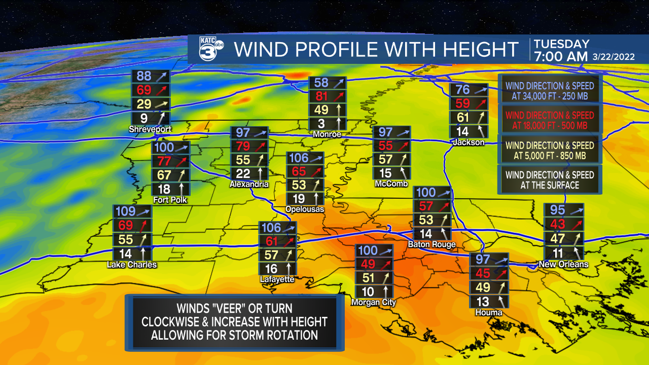
Wind gusts ahead of the storms should increase to better than 40 mph Tuesday morning and could easily reach gusts in the 50-70 mph range or more in any storms that tap into the 75 mph low-level jet stream.
Needless to say, even with 40 mph plus gusts, portions of rural Acadiana could see some isolated, localized power outages.

The National Weather Service also has all of Acadiana hatched in for a flood watch tomorrow, but activity will be moving along a a good clip, but 1-3" of rain, causing some localized run-off and perhaps some street flooding might be possible.
The storms and severe weather threat should be well east of Acadiana by late Tuesday afternoon, with peeks of the sun possible right at sunset.
Thereafter it's smooth sailing forecast-wise into the weekend with lots of sun and seasonable temperatures.
See the KATC 10 Day Forecast for the latest and stay with KATC, katc.com and social media for live updates before and during the storms.
------------------------------------------------------------
Stay in touch with us anytime, anywhere.
To reach the newsroom or report a typo/correction, click HERE.
Sign up for newsletters emailed to your inbox. Select from these options: Breaking News, Evening News Headlines, Latest COVID-19 Headlines, Morning News Headlines, Special Offers
