


Scattered activity will come to an end Saturday evening.
Mild and muggy conditions tonight with overnight lows in the lower 70s.
Drier air will begin to filter into the region throughout the day on Sunday.
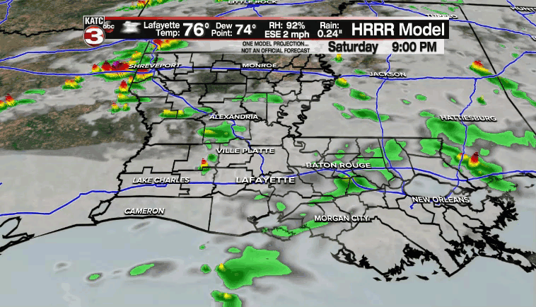
However, there will still be enough low-level moisture in place out ahead of the drier air to support a few scattered showers and storms, especially during the afternoon hours.
High temperatures will top out in the middle 80s.
Slightly cooler tomorrow night as temperatures will drop into the upper 60s come Monday morning.
An upper-level low will dive southward and pretty much remain situated just off to our east through the better part of the work week.
As a result, we'll remain on the backside of the feature and will be enjoying some drier, more comfortable conditions.
We may have some cloud cover to deal with at times due to the close proximity of that feature.
Regardless, rain chances will be close to zeroed out through at least the following weekend.
Expect more seasonal conditions across Acadiana with overnight lows settling into the low-mid 60s and afternoon highs in the low-mid 80s.
TROPICS
Hurricane Sam and tropical storm Victor remain the only systems we are currently tracking in the tropics.
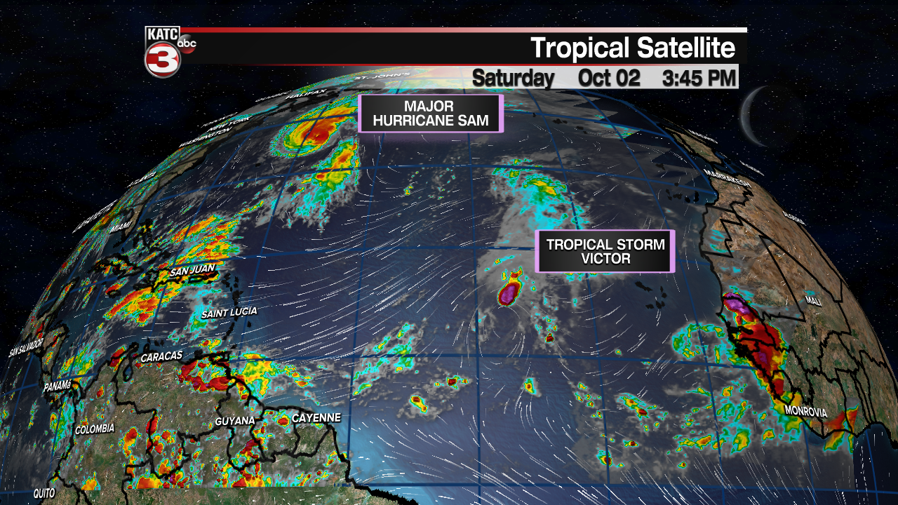
Both systems will remain out to sea and not be a threat to Acadiana.
