


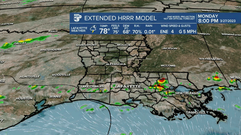
A cool front is expected to produce scattered showers and thunderstorms across Acadiana overnight through early Tuesday morning.
Per the Storm Prediction Center, Acadiana will be in a low end, marginal risk, of a few severe storms through Tuesday morning.

The main concern with the storms will be the possibility of some small hail and gusty, possibly damaging winds in a few isolated spots.

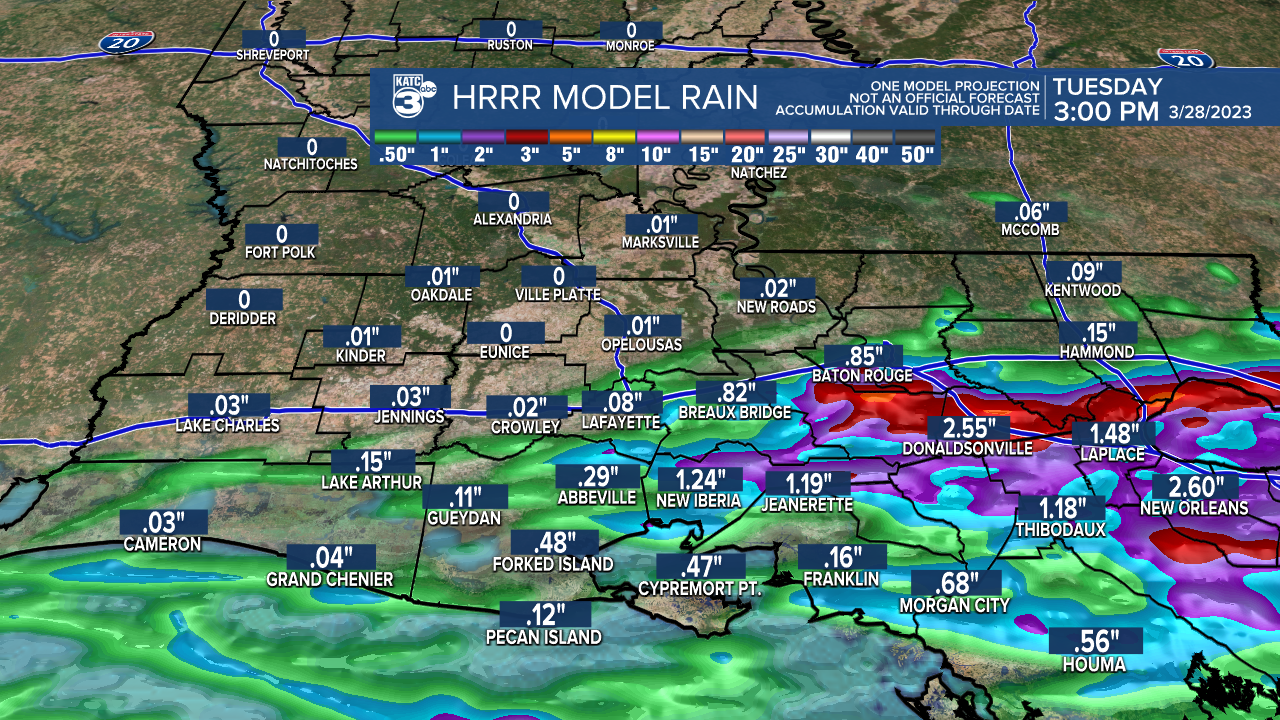
In addition, some locally heavy rainfall will be possible with 1-2 inches for some areas. Isolated higher amounts could lead to some localized street flooding, but widespread flooding is not anticipated.
After morning storms, it should be quieter, breezy and cooler into the afternoon with temperatures holding from the mid-upper 60s to lower 70s for an afternoon high.
Breezy northerly winds will follow the front into Tuesday evening accompanied by cooler temperatures, likely dropping into the mid-50s Wednesday morning.
Wednesday and Thursday look to be nice and seasonably cool days, but look for another warm-up later this week with the chance of a few showers and storms this weekend.
The long range into next week looks unsettled, warm and quite humid...in fact, overnight lows a couple of days mid-next week might be in the very "summery" mid-70s!
See the KATC 10 Day Forecast for the latest.
------------------------------------------------------------
Stay in touch with us anytime, anywhere.
To reach the newsroom or report a typo/correction, click HERE.
Sign up for newsletters emailed to your inbox. Select from these options: Breaking News, Evening News Headlines, Latest COVID-19 Headlines, Morning News Headlines, Special Offers
