


Partly sunny skies along with scattered afternoon showers and storms will stay in the forecast for Acadiana over the next few days, but drier, more comfortable weather is on the way next week.
In the near term, expect scattered showers and some thunderstorms into Wednesday evening as a weak frontal trough works southward through the area.
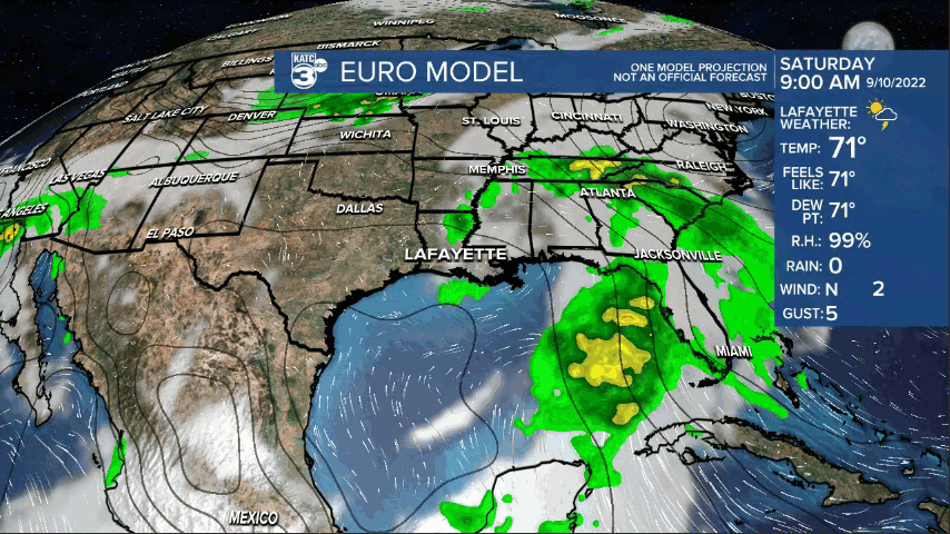
Skies will become fair later tonight with slightly more comfortable temperatures by morning in the lower 70s expected with a very light northerly wind.

Tomorrow will again bring another sun and cloud mix with a good chance of scattered afternoon storms...storm prime-time Thursday should be between 2pm and 5pm...based on our latest models.

It's repeat business for Friday and Saturday as a weak upper low remains anchored in the area.

By Sunday the upper low begins to shear out and eventually push of to the east opening the door for a weak cool front to reach the area by late Monday.
This front could bring several days of more comfortable weather with lower humidity and a few nights/mornings with lows possibly dropping into the mid-60s mid-next week.
Daytime highs will still approach 90° behind the front but the lower humidity will take an edge off of the heat.
See the KATC 10 Day Forecast for the latest.
Meanwhile, the tropics are active in the Eastern Pacific and open Atlantic.

Hurricane Kay in the Eastern Pacific was sporting 100 mph winds and part of the system could bring some beneficial rains to Southern California Friday or Saturday before the storm peals out to the west into the open ocean.
Kay will be weakening and likely a tropical storm when it nears SoCal.
In the open Atlantic, Hurricane Earl was sporting 85 mph winds while Hurricane Danielle continues to hold on with 80 mph winds.
A Hurricane Watch was posted for Bermuda as Early could come close to the island late Thursday into Friday morning.
A new system in the Central Tropical Atlantic has a 70% chance of developing per the National Hurricane Center, and is likely to become a depression before the week is done.
This system could become a future "Fiona"...but should also remain an Atlantic system.
Another wave (30% chance of development) near the African Coast may have a chance to cross the Atlantic and not re-curve...but way to early to tell at this time.
For now there appear to be no tropical threats for the Gulf of Mexico for the next week to 10 days.
------------------------------------------------------------
Stay in touch with us anytime, anywhere.
To reach the newsroom or report a typo/correction, click HERE.
Sign up for newsletters emailed to your inbox. Select from these options: Breaking News, Evening News Headlines, Latest COVID-19 Headlines, Morning News Headlines, Special Offers
