


It is becoming quite routine across the area with the sea breeze kicking in mid-morning and into the afternoon helping to deliver on daily scattered showers and storms.
Expect any leftover shower activity to begin coming to an end this evening once we lose the heating of the day.
Overnight lows will be heading for the lower to middle 70s.
A tropical wave (nothing organized) will be tracking south of the coastline on Sunday.
That will send rounds of moisture our way throughout the day, adding to the instability we will already have in place.
As a result, expect a healthy scattering of tropical showers on Sunday.
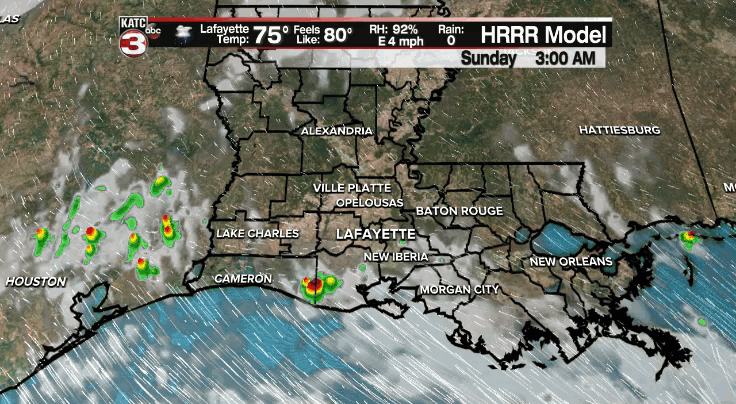
It will likely be one of those days where you see a brief heavy downpour, then the sun may come out for a period of time, and then you kind of repeat the process throughout the day.
Afternoon highs will look to top out in the middle to upper 80s.
Rain chances stay elevated into Monday with high amounts of low-level moisture remaining in place.
The pattern will remain somewhat unsettled throughout the rest of next week with rain chances sitting in the 40-50% range.
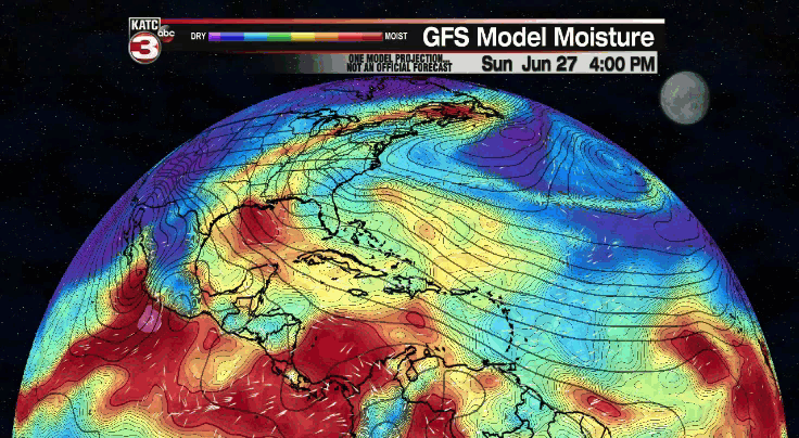
Rain chances could remain elevated heading into the 4th of July weekend as tropical moisture continues to be shuttled in our direction.
However, we are still about a week out, so that part of the forecast remains to be seen at this point.
We'll watch the trends in the days ahead, so stay with us for the latest as we iron out those details.
Have a great rest of the weekend!
In the Tropics:
We are tracking to small areas of interest in the Atlantic.
The first is an area of disorganized shower and thunderstorm activity just south of Bermuda.

It only has a 10% chance of development as moves westward toward the east coast in the next 5 days.
It is no threat to us.
The other is the same area we have been tracking over the past few days way out in the Atlantic.
The NHC has gone up and down on development chances and now give it a 30% for development in the next 5 days.
Although development is not likely with this system, we'll continue to track the moisture associated with it as it progresses westward.
It may bring elevated rain chances to the region by the end of next weekend and into the first parts of next week.
However, we have plenty of time to see how that plays out.
The rest of the tropics are quiet at this time.
------------------------------------------------------------
Stay in touch with us anytime, anywhere.
To reach the newsroom or report a typo/correction, click HERE.
Sign up for newsletters emailed to your inbox. Select from these options: Breaking News, Evening News Headlines, Latest COVID-19 Headlines, Morning News Headlines, Special Offers
