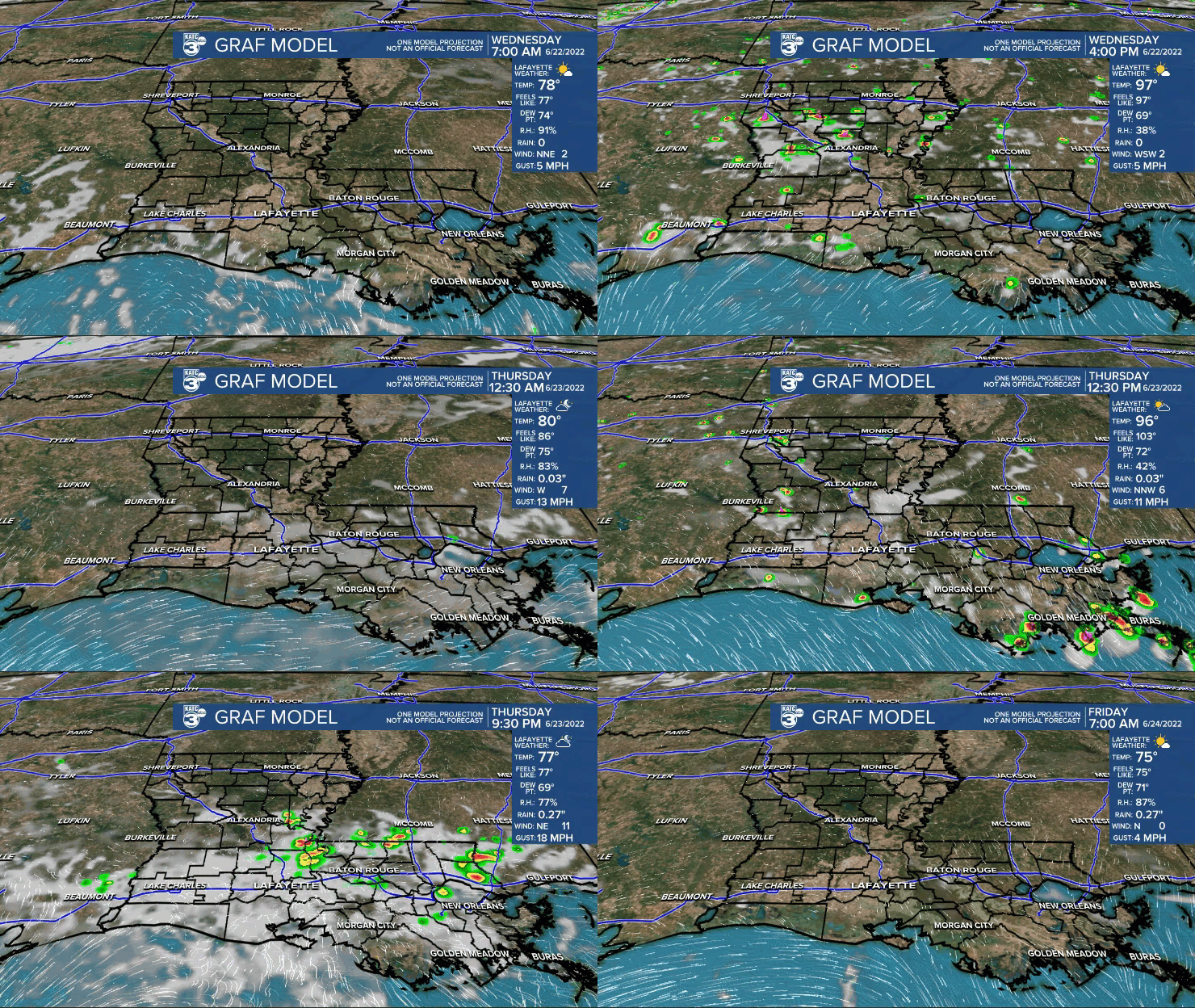
Acadiana's early summer heat wave looks to continue through at least this weekend, but there could be a change coming next week.
High pressure aloft will continue to dominate over the region keeping it quite hot and mostly dry, although there could be a few isolated afternoon thunderstorms possible Wednesday with rain chances near 20% or less.

A small disturbance approaching from the northeast Wednesday could lead to a better chance of afternoon storms, but the main story will continue to be the heat!
High temperatures will continue in the mid-upper 90s with heat indices in the 102-108° range over the next few days.

Highs will approach the upper 90s and likely pass 100° in some spots across the area Friday into the weekend as the ridge amplifies before it weakens into next week.

Although not explicitly overt, it does appear that the ridge will weaken it's grip over the area to possibly lead to a better chance of scattered afternoon storms into next week...fingers crossed.
Overall the KATC 10 Day Forecast looks quite hot for the time of year.
Climate notes: After the 4th warmest May on record, Lafayette is in the top 5 of hottest Junes and moving up with a mean temperature (highs & lows) at 83.6F through the first 3 weeks!

A climate trend for sure as 6 of the hottest top 10 months since 1893 have occurred since 2010.
------------------------------------------------------------
Stay in touch with us anytime, anywhere.
To reach the newsroom or report a typo/correction, click HERE.
Sign up for newsletters emailed to your inbox. Select from these options: Breaking News, Evening News Headlines, Latest COVID-19 Headlines, Morning News Headlines, Special Offers


