


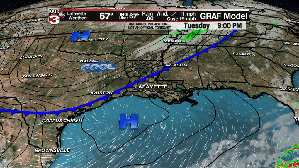
Another cool front arriving Tuesday night will insure unseasonably cool and pleasant weather for Acadiana through Thursday, but the chance of storms will likely return by late Friday.
In the near term, expect fair skies and cool conditions tonight with northerly winds freshening up after midnight...temperatures will drop into the upper 40s to lower 50s most areas for Wednesday morning.
Sunny, breezy and unseasonably cool conditions are on tap for the area Wednesday with highs struggling to reach the mid-60s...which is roughly 15° below the normal of 79/80°.

It should be even cooler Wednesday night into Thursday morning with lows dropping into the mid-40s range.
Thursday will be another nice one, but a little milder with highs in the lower 70s.
Acadiana's next weather-maker will arrive late Friday in the form of yet another vigorous upper level low rolling out of the Rockies.
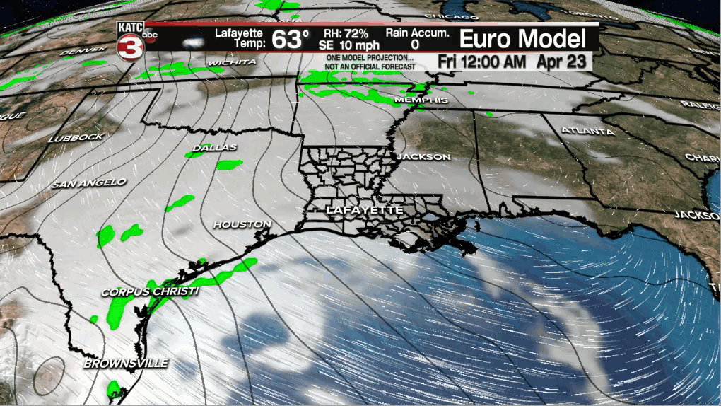
This system will initially bring moisture and a little bit of a warm front across the early Friday which could produce scattered showers and storms.
A better chance of storms looks to arrive Friday night ending early Saturday and those storms may come with some sort of severe weather threat.
The Storm Prediction Center (SPC) already has portions of our are and Louisiana hated in for a slight risk of severe storms, and per usual for this time of year, the severe threat will be greater farther north.

Timing and intensity of our expected storms remains unclear at this point and will probably change, but today's model data points to an overnight severe weather threat.
Storms containing damaging winds, a few isolated tornadoes and hail will be quite possible in the SPC severe weather outlook area.

There could be some locally heavy rainfall where the strong storms manifest into Friday night with the Euro favoring Central Louisiana while the latest GFS supporting the heavier rains closer to the northern part of the state.

These preliminary outlooks will likely change in the days ahead.
Showers and storms should end early Saturday leaving us with a good opportunity for sunny skies to return Saturday afternoon.
Sunday looks quite nice with full sunshine that could carry into Monday.
The next weather system to impact the Acadiana area after Friday night will be sometime around mid-next week...and yes, there mayl be a severe weather threat with that system, with perhaps a substantially higher risk farther north Tuesday into Wednesday.
See that KATC 10 Day Forecast for the latest.
------------------------------------------------------------
Stay in touch with us anytime, anywhere.
To reach the newsroom or report a typo/correction, click HERE.
Sign up for newsletters emailed to your inbox. Select from these options: Breaking News, Evening News Headlines, Latest COVID-19 Headlines, Morning News Headlines, Special Offers
