


Mild conditions tonight with overnight lows only in the mid-upper 60s.
Another warm and muggy day on Thursday as highs push the upper 70s to lower 80s into the afternoon with a mixture of sun and clouds.

There will only be a slight chance at a passing shower with the heating of the day (10-20%).
Similar story for Friday as near record warmth continues.
However, we will see changes in the pattern heading into the weekend courtesy of our next cold front advancing into the region.
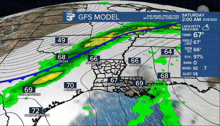
Scattered showers and a few embedded storms will become likely into Saturday afternoon.
Co
oler air will begin to filter in behind the frontal passage.
In fact, chilly conditions will be back Sunday.
After a morning start in the upper 40s to lower 50s, temperatures will struggle to make it out of the 50s by the afternoon.
Another upper-level feature will give us yet another chance at rainfall on Monday before the pattern will look to turn drier thereafter.
Cool conditions will remain in place through the early and middle parts of next week, but temperatures could begin to moderate by the end of the week.
Still a little too early to dive into the specifics of that all-important Christmas forecast, but we'll have more on that in the days ahead, so stay tuned!
Have a great rest of the week!
