


High pressure is building in aloft and at the surface.
That will set the stage for what will be a dry, but rather hot weekend.
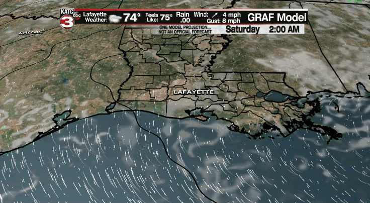
Quiet conditions tonight as lows drop into the middle 70s.
Mostly sunny to partly cloudy skies out there on Saturday.
Afternoon highs will top out in the middle 90s.
Those heat indices will range from 100-105° from late morning through early evening.
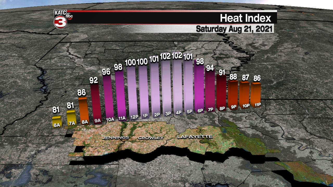
Make sure to take it easy if you plan on being outside for an extended period of time.

We'll see much of the same going into Sunday with only a slim chance for a cooling shower by the afternoon.
Temperatures will once again top out in the middle 90s.
Next week will start out on the hot side.
We'll then start to introduce 30-40% rain chances beginning on Tuesday and lasting through the rest of the work week--- Nothing really out of the ordinary for late August standards...
Temperatures will settle into the lower 90s.
Have a great weekend!
In the tropics:
Grace will make a run at category 2 status before making landfall in Mexico later on tonight.
The system will then dissipate over inland Mexico.
Meanwhile, tropical storm Henri will threaten the northeast as a hurricane by the end of the weekend.
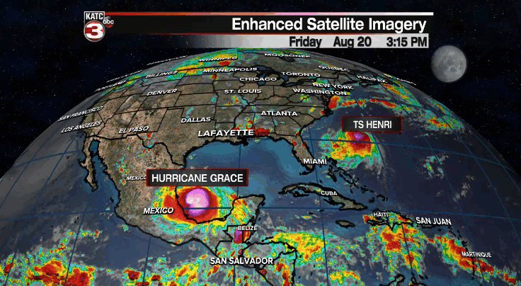
We'll keep an on it for our friends up there.
Both systems are no threat to Acadiana.
One small area just off the African coast has a 20% chance of development.
It is expected to remain out in the open Atlantic at this time.
The rest of the tropics are quiet with no immediate threats to our part of the world.
