


Acadiana will be trading highs in the mid-90s for highs in the upper 90s over the next few days, with a possible change on the horizon shaping up into next week.
High pressure at the surface and aloft will continue to dominate across the region through this weekend insuring our early summer heat wave will continue.

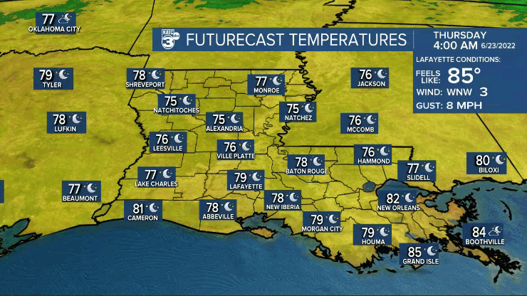
The forecast for Thursday calls for high temperatures reaching the 97-99° mark across the area, but there looks to be a minor upper disturbance that may roll in from the northeast for the afternoon which could spark a few afternoon showers and thunderstorms.
Rain chances however, will not be that high, closer to the 20-30% range.

Heat indices will also inch upward Thursday with afternoon values in the 104-108° range.

The upper ridge of high pressure looking to expand further Friday and Saturday with afternoon highs to expected to reach closer to 98-100°.
Rain chances should drop to near 10% or less Friday and Saturday, but by Sunday, some deeper moisture to our east combined with a slight weakness in the upper ridge should yield a few more storms Sunday afternoon...but prior to any shower or thunderstorm activity Sunday, high temperatures will still reach the upper 90s.
Both of our longer range models do indicate that deeper moisture and a little more instability will advance into the region from the east early next week, which should in turn allow for a better chance of scattered afternoon storms.
And for now, at least the pattern of a few more afternoon storms are expected most if not all of next week, with rain chances bouncing around in the 30-40% range.
By no means will this put any dent in the ongoing drought across the region, but it shouldn't be quite as hot, with highs closer to the low-mid 90s (still above normal) with any luck.
See the KATC 10 Day Forecast for the latest.
Meanwhile in the tropics, all remains quiet for the most part with a fairly robust tropical wave coming off of the African Coast...it's a little early for activity here but the wave may make it to the Eastern Caribbean in about a week's time.

Also of note, there appears to be reduced amounts of African Dust in the Atlantic which gives the aforementioned wave a pretty decent chance of traversing the ocean basin.
Meanwhile, the Gulf of Mexico, along with much of the Atlantic Basin continues to see above normal sea surface temperatures, with the Northern Gulf running some 5-6 degrees F above normal thanks to our recent heat wave.

A hotter Gulf does not necessarily insure that we'll see more tropical activity here later this year...but it definitely won't hurt our chances either.
------------------------------------------------------------
Stay in touch with us anytime, anywhere.
To reach the newsroom or report a typo/correction, click HERE.
Sign up for newsletters emailed to your inbox. Select from these options: Breaking News, Evening News Headlines, Latest COVID-19 Headlines, Morning News Headlines, Special Offers
