


A pattern change will be underway for Acadiana starting Wednesday with a few showers, perhaps a thunderstorm in the forecast, but better prospects of daytime showers and storms will be in the local forecast for the rest of the week, the weekend and perhaps into much of next week too.
In the near term, we expect an upper level impulse in Southeast Texas Tuesday afternoon to slide eastward in Louisiana Wednesday helping to spark of a few scattered showers and a couple of thunderstorms.
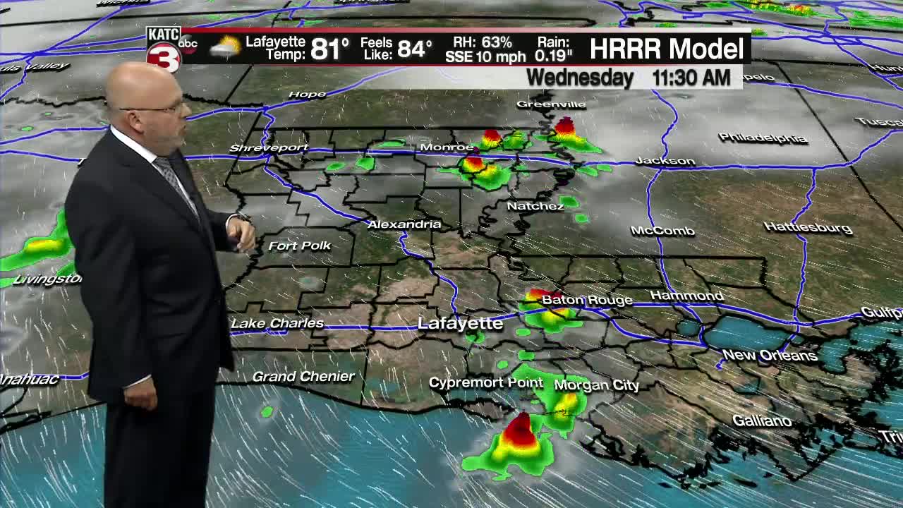
No severe weather or heavy rains are in the forecast Wednesday, and away from any showers it will be day filled with a sun and cloud mixture...still not a bad day.
Rain chances Wednesday will increase to 30-40% with any activity relatively brief if you're caught under one.
Highs Wednesday will be pushing into the mid-80s.
Deeper moisture and additional upper level energy should translate to a better chance of scattered of showers and storms Thursday, and the prospects of better than normal rain chances continue into Friday.
The weather picture becomes a little more interesting and muddled as an upper low develops in Texas this weekend and then becomes "cut-off" from the steering pattern allowing this system to meander for several days.
This could be a big rain-maker somewhere in Texas, Oklahoma, perhaps Arkansas and Louisiana as there will be some very heavy rains near this feature for several days...but where the heaviest precipitation remains premature to forecast at this time.
But both the Euro and GFS models point to rainfalls 5" or better in Texas...and in fact, up to 15" in isolated spots could accumulate of a period of several days from this weekend into early next week. Something to keep an eye on for sure.
To make matters even a little more interesting, the National Hurricane Center (NHC) is monitoring and area near the Bahamas for potential hybrid (sub-tropical) development into this weekend. As of today there was no convection in this area but models are forecasting that to change in the days ahead.
Whatever may develop there should harmlessly move out to the open Atlantic...but it's a reminder that hurricane/tropical season is less than 3 weeks away!
While this system will pose no threat to the Gulf of Mexico, in its wake high pressure will build southward along the East Coast which will continue to funnel Gulf of Mexico moisture toward the western Gulf keeping our local forecast potentially on the wet side (and almost a monsoonal-looking flow) for the better part of the 10 Day Forecast.
------------------------------------------------------------
Stay in touch with us anytime, anywhere.
To reach the newsroom or report a typo/correction, click HERE.
Download our free app for Apple, Android, Roku and Amazon devices.
Sign up for newsletters emailed to your inbox. Select from these options: Breaking News, Evening News Headlines, Latest COVID-19 Headlines, Morning News Headlines, Special Offers
