


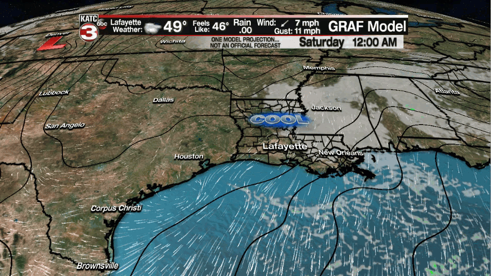
While spring officially starts on the astronomical calendar at 4:37 am Saturday, it's still going to continue to feel and look like winter for Acadiana with temperatures starting in the 40s accompanied by mostly cloudy skies.

Clouds will likely dominate most of our Saturday but there should be a few brief intervals of sun from time to time.
High temperatures will top out in the lower 60s Saturday...some 10 degrees below normal for the time of year.

Clouds should thin Saturday night into early Sunday with partly sunny skies and temperatures rebounding into the lower 70s Sunday afternoon.
Breezy and milder weather is expected Monday as clouds increase ahead of several weather-makers that will be impacting our area mid-next week.
The details of next week's weather systems remains quite murky with healthy prospects of showers and storms developing for the Tuesday through Wednesday night time period.

It remains speculative as to whether there will be any severe weather threats, although this is the time of year for it.
For now, our best chance of stronger storms will be into Wednesday, but look for forecast adjustments in the days ahead.
It also is early for rain totals next week, but a several inch soaking is certainly a possibility.

The the KATC 10 Day Forecast for the latest.
------------------------------------------------------------
Stay in touch with us anytime, anywhere.
To reach the newsroom or report a typo/correction, click HERE.
Sign up for newsletters emailed to your inbox. Select from these options: Breaking News, Evening News Headlines, Latest COVID-19 Headlines, Morning News Headlines, Special Offers
