


There isn't much left to discuss regarding Invest 98L. The window for development has closed, and the system has moved inland. As a result, northeast Mexico and southern Texas are dealing heavy rain and thunderstorms today.


Meanwhile, in the Atlantic, Hurricane Erin continues to track west-northwest, bringing the threat of heavy rain to the northern Leeward Islands, which remain under a tropical storm watch.
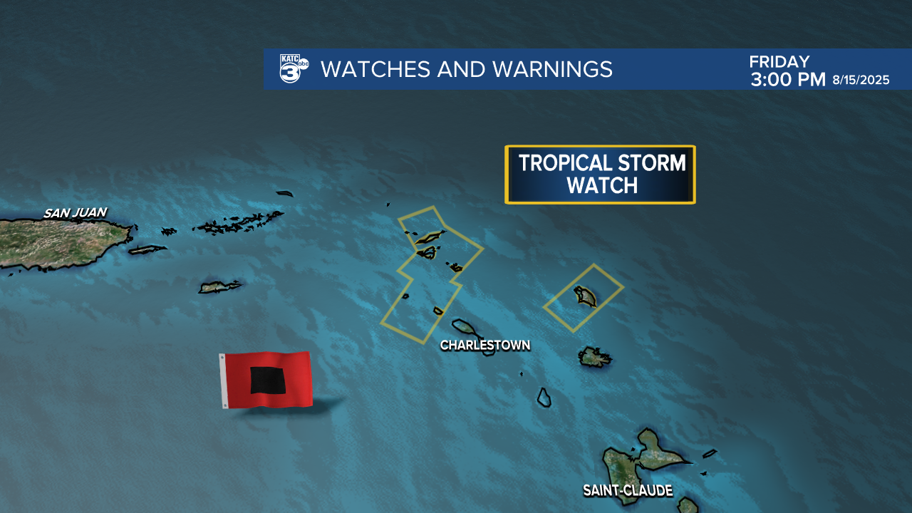
Erin is steadily becoming more organized and will likely become the season’s first major hurricane! As we head into next week, Erin is projected to shift towards the northwest, passing between the East Coast and Bermuda. While direct impacts are decreasing, dangerous surf and rip currents are expected along the East Coast.


Here's the weekend forecast!
See the KATC 10 Day Forecast for the latest.
Follow Meteorologist Breyanna Lewis for further updates.
