


Rain chances are currently low, but hold on! We're expecting a brief increase in rain late this weekend into next week.

This is due to remnant moisture from Tropical Depression Cristina in the Pacific, which will be interacting with a frontal trough.


With this system in play, heavy rains can be expected for Acadiana on Monday and Tuesday. The WPC has issued a marginal (1/4) threat for heavy rainfall across most of Acadiana, while Central Louisiana is under a slight (2/4) threat. The latest EURO model suggests rainfall totals between 3 and 6 inches, with the possibility of even higher amounts!

On another note, the National Hurricane Center has highlighted its first area of disturbance in the Bay of Campeche, as we officially enter the Atlantic Hurricane Season.

The remnants of Tropical Storm Cristiana are expected to create a weak area of low pressure by Friday.

However, the NHC reports that conditions aren't favorable for significant development, and the system will likely move inland over eastern Mexico late this weekend. The chance of significant development remains low at just 10%.
Follow Meteorologist Breyanna Lewis for further updates.
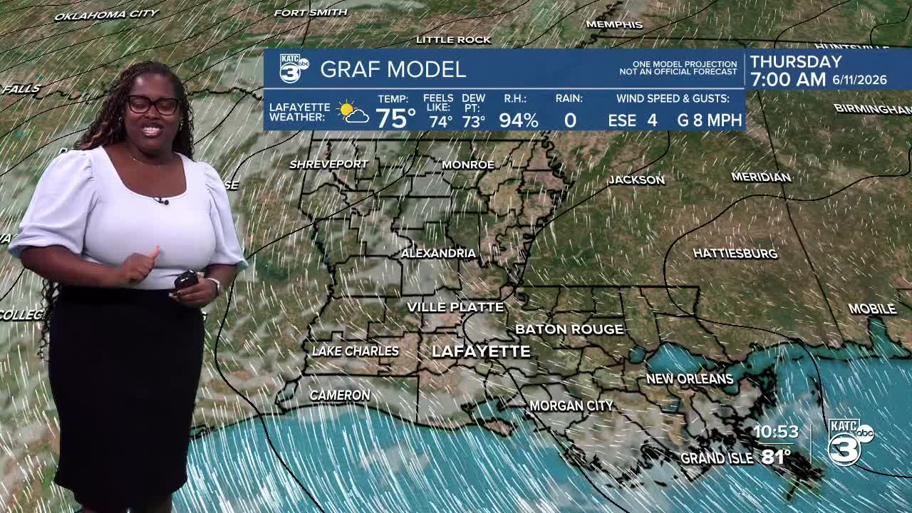
See the KATC 10 Day Forecast for the latest.
