


If you love normal August weather, you're in for a treat. This is normally the hottest time of the year, and temperatures in the low 90s with heat index values between 100 and 105 can be expected most of this week.
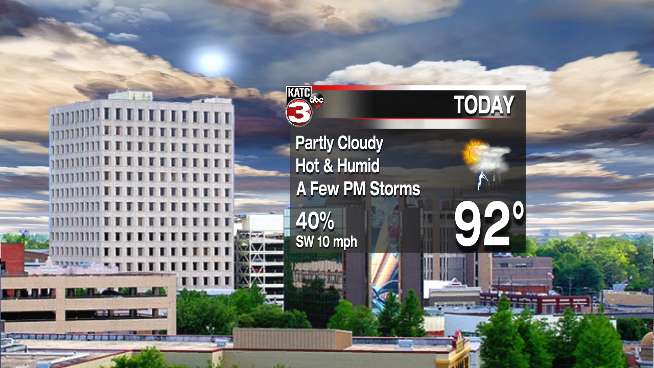
A light southerly flow will continue over Acadiana. This has only let temperatures drop into the mid to upper 70s this morning. A ridge of high pressure over the Atlantic will keep us with southerly winds for much of the week. A weak ridge of high pressure is in the upper levels over our region. This will keep the atmosphere relatively stable. Therefore only a few pop up storms are expected this afternoon through the mid part of the week. Temperatures will reach the lower to mid 90s each day.

Toward the end of the week, the ridge aloft will weaken. So with plenty of moisture in place, it won't take much daytime heating to get showers and storms going. By Thursday into the weekend, rain chances will be back in the 40-50% range. Highs will hover in the lower 90s because of extra cloud cover.

As expected, August is when we see the tropics wake up for the main part of the season. August and September is usually know as "The Season Within The Season". It's the peak of tropical activity. There are two areas of concern over the Atlantic Basin this week. One, known as Disturbance 94L is located east of the Windward Islands. The National Hurricane center is betting there's a 60% chance for this wave becoming a tropical depression or tropical storm over the next five days.
The track looks ominous, but the intensity forecast isn't showing much strengthening. As of now, we're probably looking at a weak/moderate tropical storm that could impact the northern Caribbean Islands toward the southeastern U.S. Most models start to curve the system northward into Florida, or perhaps the eastern Gulf of Mexico.
