

We're starting the week on a warm and humid note. Most areas are getting the day started with temperatures in the lower 70s with higher dew points. The extra moisture should help to keep a few showers in the forecast early this week.
A weak cold front will edge into the area this morning bringing some showers and thunderstorms for our western sections this morning. The front will eventually stall over the inland areas of the state, with showers starting to weaken as they drift toward the east. Best chances for rain will be along the Texas state line and our inland areas including Leesville and Alexandria. Most of Acadiana will see slight chances for isolated showers.
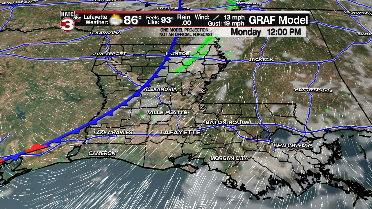
Although some sunshine is expected, clouds will rule the sky today. Temperatures are expected to climb into the upper 80s, with heat index values near 95 degrees. Overnight lows will only get back into the lower 70s.

The front will lift northward as a warm front Tuesday, taking the chances for rain away, but leaving the heat and humidity in place through the end of the week. Temperatures Tuesday through Friday should remain in the upper 80s to near 90 degrees.

By Friday, a stronger front is expected to move in late in the day. Showers and storms will become more likely by Friday night into Saturday morning. Clouds may be slow to clear Saturday, but sunny and cooler weather is expected by Sunday and continue through much of next week. Afternoon highs by the end of the weekend should be in the 70s with overnight temperatures next week in the 50s!
