


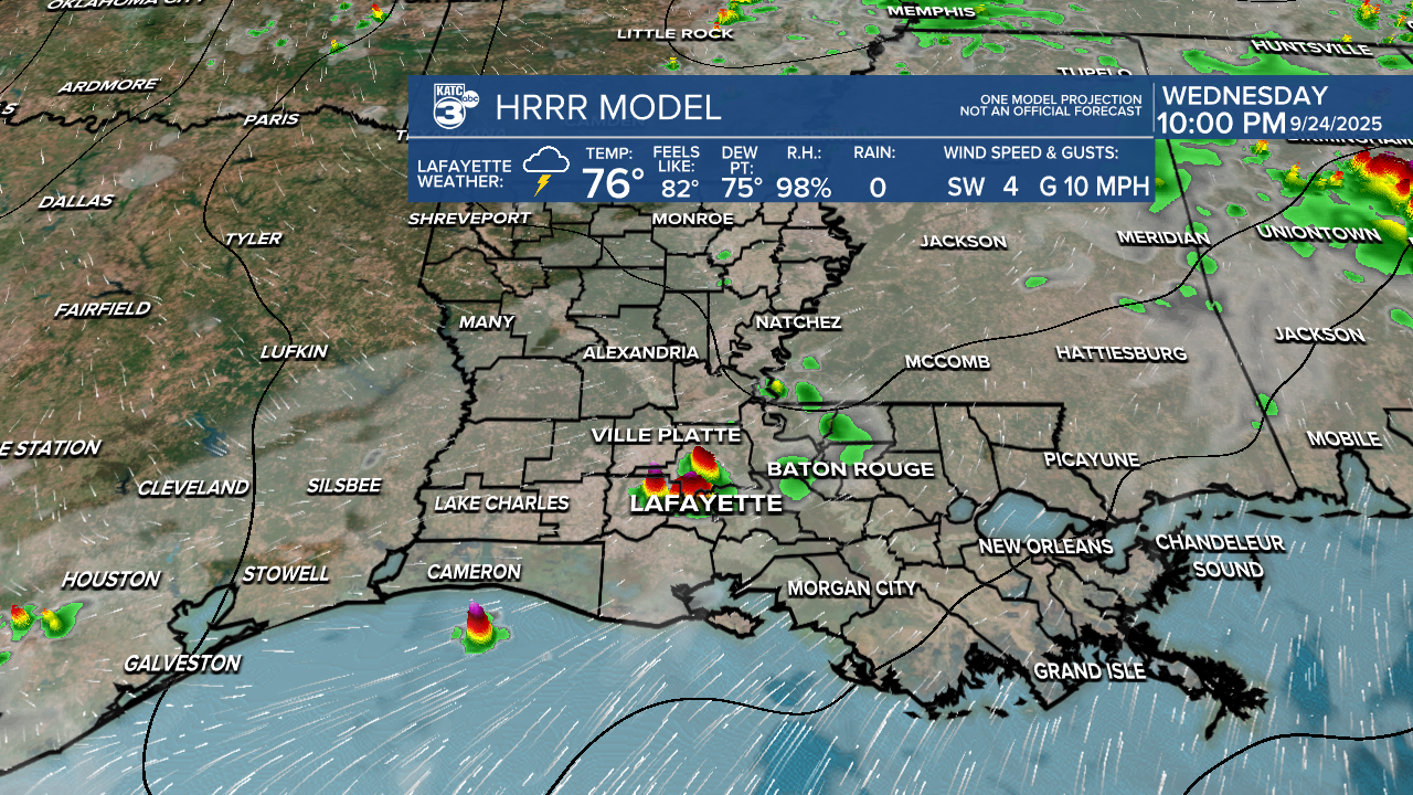
Acadiana and Central Louisiana have been dealing with off-and-on showers and thunderstorms this afternoon. These storms may die down in intensity this evening, but could re-fire again after midnight. There is a marginal (1/5) for isolated severe storms, mainly due to gusty winds. So far today, it's been a few strong thunderstorms producing gusty winds.

Not to mention, there is a slight (2/4) risk for heavy rain. This is important to keep in mind for those traveling home later this afternoon. Training thunderstorms are affecting northern Rapides, La Salle, Catahoula, and Concordia Parishes, which may prompt flash flood warnings. Aside from the flooding, the rain can help alleviate drought conditions in affected areas.
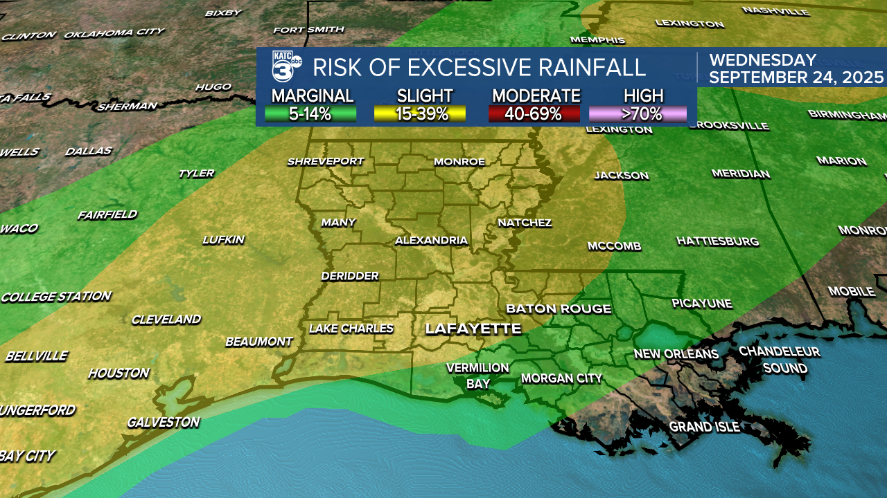
This is all associated with an incoming cold front that will arrive late tonight into Thursday. The front is expected to bring an end to the rain and usher in a drier, more stable airmass with slightly cooler temperatures. High pressure will build behind the front, leading to sunny and calm weather!


Expect a warm night ahead, with lows in the 70s. Tomorrow, temperatures will be noticeably more comfortable in the low 80s. By the weekend, the overnight lows dip into the low 60s.


See the KATC 10 Day Forecast for the latest.
Follow Meteorologist Breyanna Lewis for further updates.
