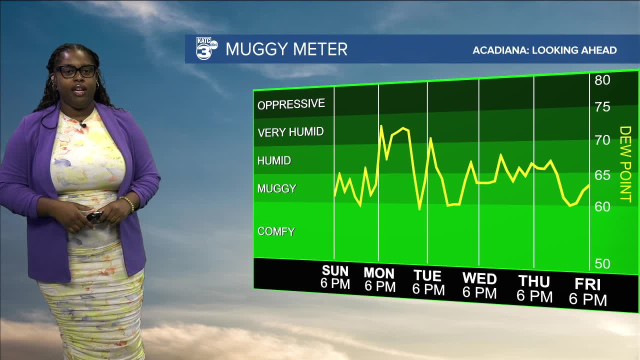
Fairly nice conditions for the beginning of the week.
Tropical Storm Fernand and Invest 99L are in the news once again.

Breyanna Lewis/KATC
Fernand is located about 295 miles east of Bermuda, moving north-northeast at 13 mph. It is expected to remain a tropical storm for the next several days. Wind shear and sea surface temperatures are likely to decrease by Tuesday.

Breyanna Lewis/KATC

Breyanna Lewis/KATC
On the other hand, Invest 99L continues to produce a widespread area of showers and thunderstorms, which is expected to impact the Windward and Leeward Islands tonight and into Monday.

Breyanna Lewis/KATC

Breyanna Lewis/KATC
Currently, no tropical activity is forecasted for the U.S.!
See the KATC 10 Day Forecast for the latest.


