


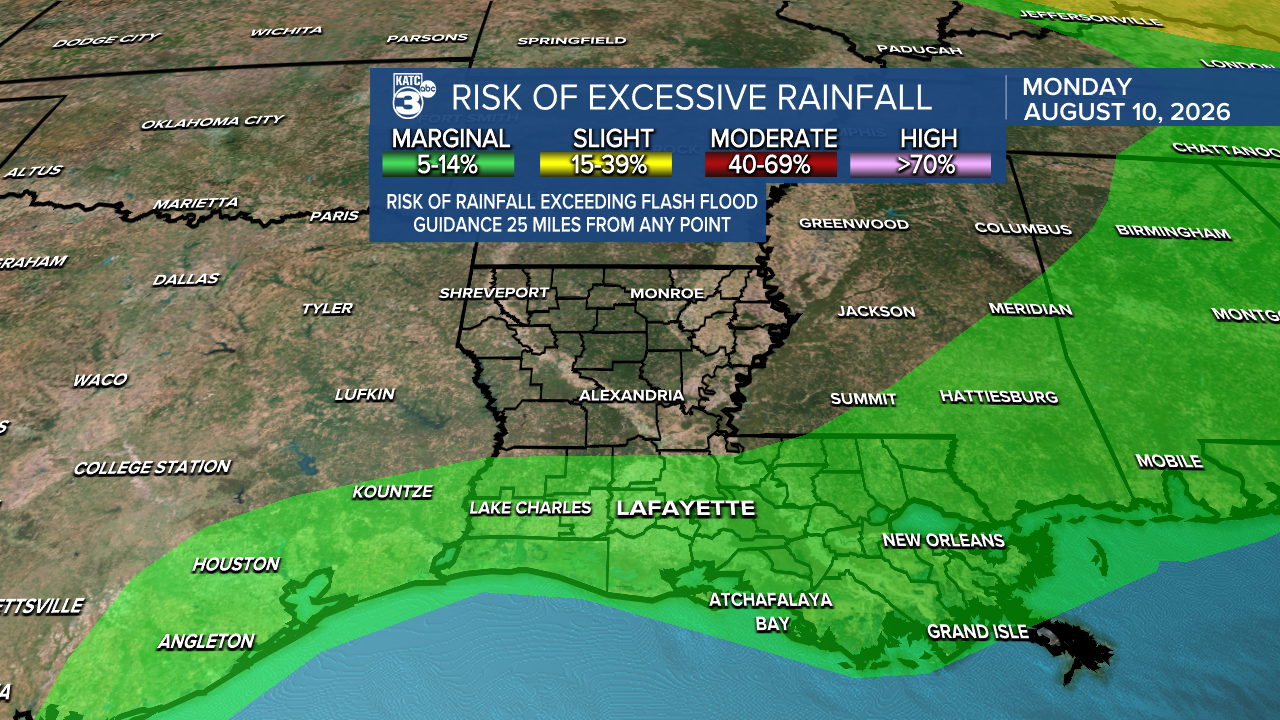
It looks like we're in for a rainy and stormy day ahead, especially in south Louisiana. The WPC has placed most of the south under a marginal (1/4) risk for heavy rainfall, which could lead to some flash flooding issues, especially in low-lying areas.
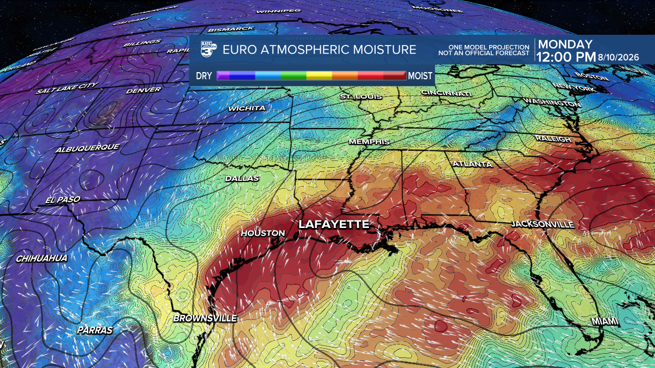
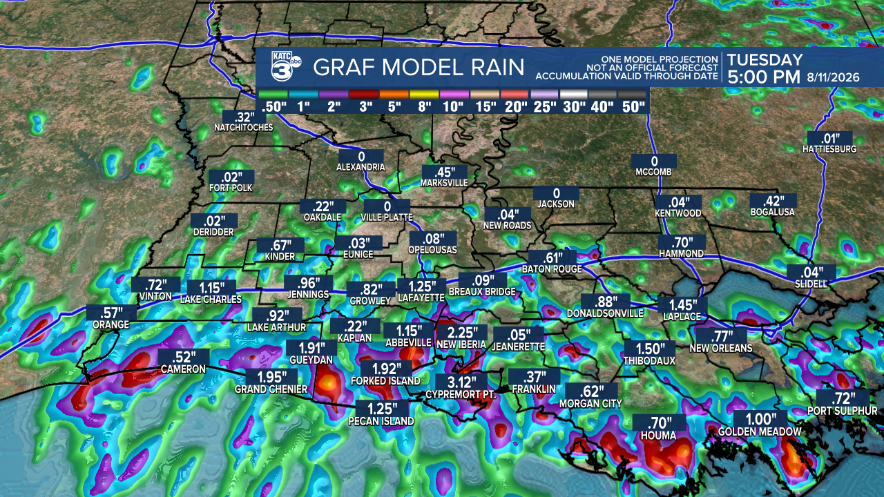
Most of the rain will be concentrated south of I-10, with possible rainfall amounts reaching up to 3". Areas north of I-10 are expected to see less than one inch. While we don't anticipate severe weather, expect conditions to be a bit breezy.
Later this week, we can expect drier and hotter weather that may prompt heat advisories.
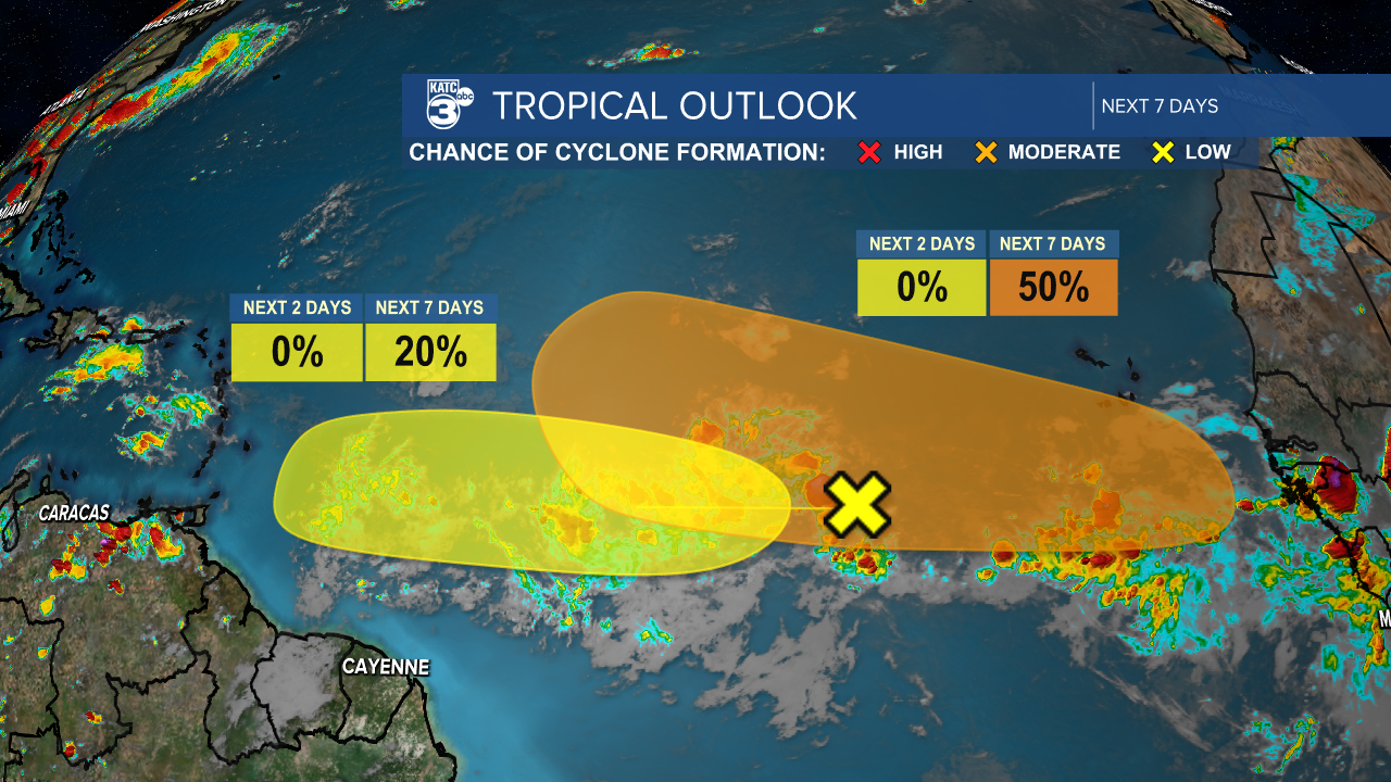
Not much has changed since my last update on the tropics, but I wanted to keep everyone in the loop! We’re currently tracking two tropical waves in the Atlantic. The first disturbance (marked in yellow) has a 20% chance of formation over the next week, with some potential development expected.
The second disturbance's chances of formation have increased to 50%. Per the NHC, "Another tropical wave is expected to move off the west coast of Africa early this week. Environmental conditions are forecast to be conducive for gradual development thereafter, and a tropical depression could form during the latter half of this week while the system moves westward to west-northwestward across the central tropical Atlantic."
Follow Meteorologist Breyanna Lewis for further updates.
See the KATC 10 Day Forecast for the latest.

