



It’s been an eventful day across the state with heavy rainfall and thunderstorms. A cluster of thunderstorms prompted a Flash Flood Warning in Iberia Parish, where some areas had up to 5 inches of rain. St. Mary Parish isn’t far behind, with isolated spots having about 4 inches! The rest of Acadiana had up to 2 inches so far. We're entering a brief wet period for a few days.


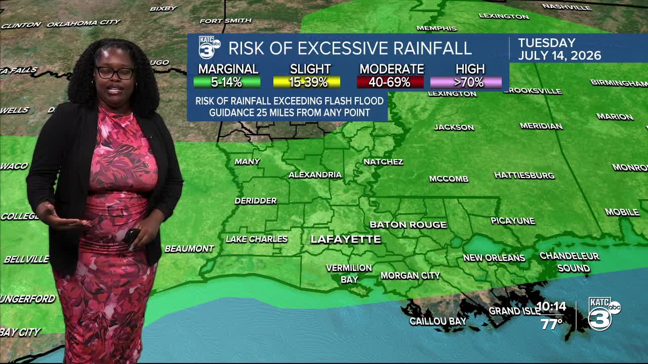
It'll be an elevated flood threat each day through Tuesday, with the greatest threat Monday. Acadiana is under a slight (2/5) risk for heavy rain. Keep your eyes peeled for any watches or warnings that may be issued.


We still expect up to 4" of rain through early Tuesday afternoon, with localized amounts reaching 6 inches. Rounds of showers and thunderstorms can be expected throughout the morning and afternoon, and some storms may deliver 2-3 inches of rain per hour.

While we aren’t anticipating severe weather for Acadiana, a marginal (1/5) risk for damaging wind gusts has shifted a bit further south into Central Louisiana for tomorrow.

Follow Meteorologist Breyanna Lewis for further updates.
See the KATC 10 Day Forecast for the latest.

