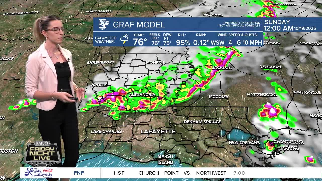


Isolated strong to severe storms possible this weekend.
It's two disturbances highlighted in the Atlantic.

Breyanna Lewis/KATC
The first is a tropical wave heading towards the Windward Islands. It's producing a large area of showers and storms with the potential for gradual development over the next few days. Islanders should expect heavy rain and gusty winds starting late this weekend.
The second disturbance is a non-tropical low-pressure system that may have a slight chance of development as it moves over cooler waters.
Neither system poses a threat to the U.S.!
See the KATC 10 Day Forecast for the latest.
