

It's been a beautiful day with plenty of sunshine aside from the chilly breeze. Colder temperatures are expected tonight as they dip into the 30s.

With a swing of Gulf moisture and winds from the south, Friday's highs soar into the 70s, making it feel like a lovely Spring day.

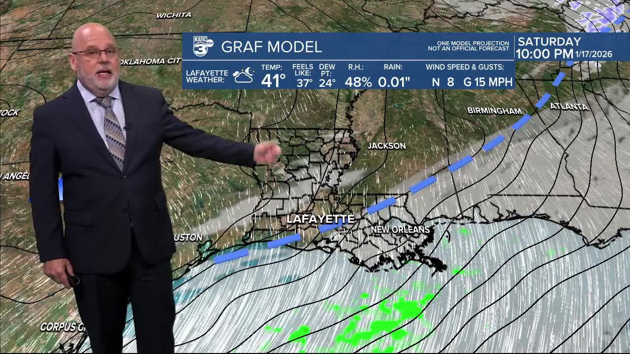
Enjoy it while it lasts, because a cold front will be arriving Friday night, dropping temperatures back into the 40s and potentially bringing a few isolated showers.

Saturday isn’t looking too warm either, with highs only reaching the mid-50s.

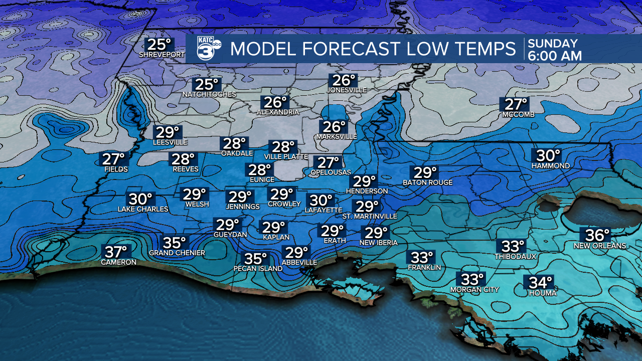
As we head into Saturday night, prepare for even colder temperatures dropping to the upper 20s to low 30s. While a hard freeze isn’t expected, we might see a light freeze, so protect your plants, people, pets, and possibly exposed pipes. Most areas south of I-10 will be below freezing for less than an hour. Central Louisiana can expect freezing temperatures anywhere between 4-6 hours.
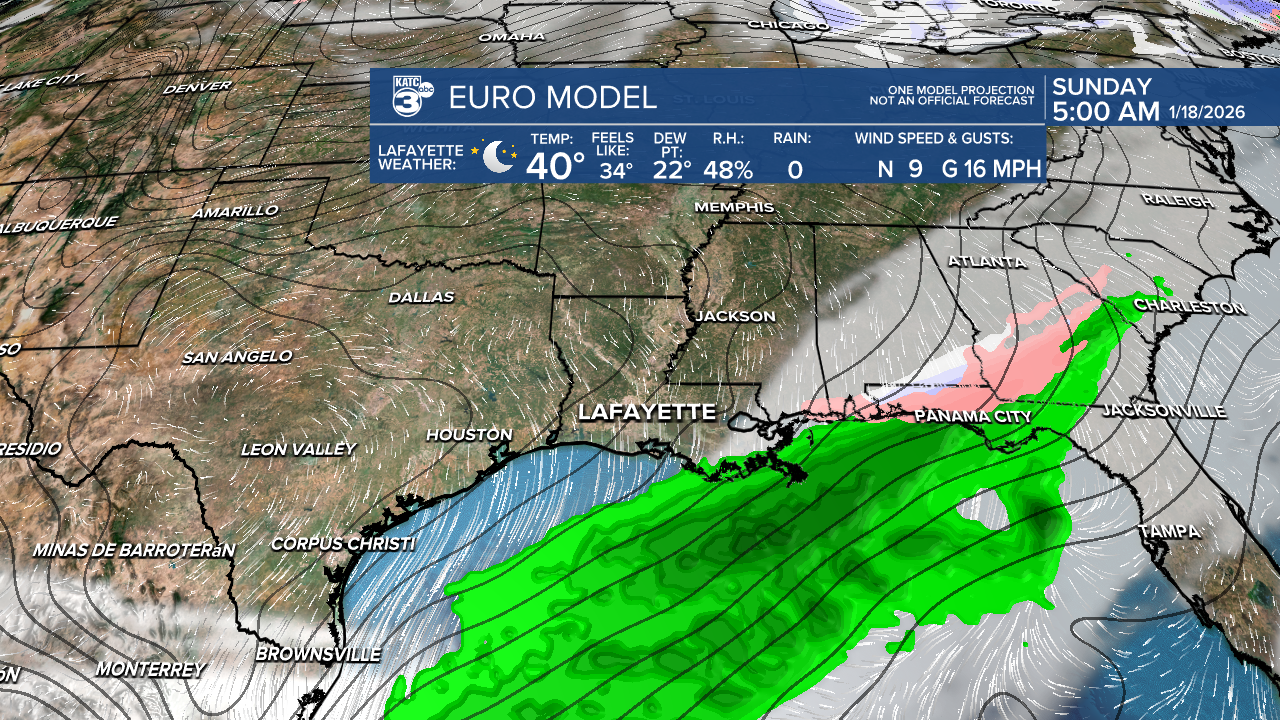
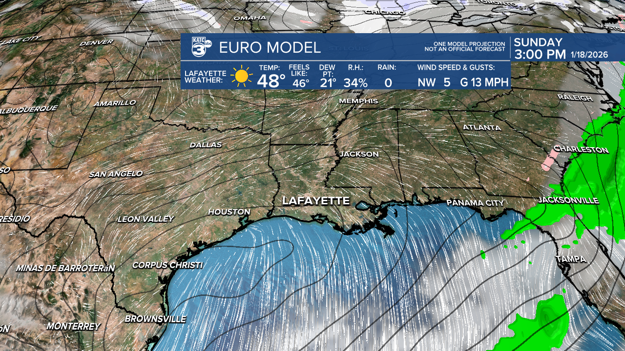
As your trusted meteorologist, I want to assure you that we do not anticipate any accumulating snow this weekend! Unlike the once-in-a-lifetime snowstorm we experienced last year, this situation is not that.
Expect a brief window from midnight Sunday until sunrise where we might see a few flurries. However, don’t get your hopes up—ground temperatures will likely be too warm for anything significant to stick. While there is some moisture in the upper levels of the atmosphere, it’s quite dry closer to the surface.
You may have seen varying forecasts from different models (GFS in particular)—some hinting at snow while others don’t show any at all. For snow to really happen, conditions need to be just right, and it looks like we won’t hit that sweet spot this weekend.


So, long story short: no snow or ice for us, but perhaps a few flurries, or maybe just some rain showers.
If you’re in the panhandle of Florida, south/southeast Georgia, or the Carolinas, you'll have a greater chance of seeing some snow.
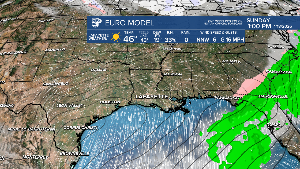
Also, with the dry air and windy conditions, please be aware of increased fire weather concerns throughout the weekend.
Follow Meteorologist Breyanna Lewis for further updates.
See the KATC 10 Day Forecast for the latest.
