


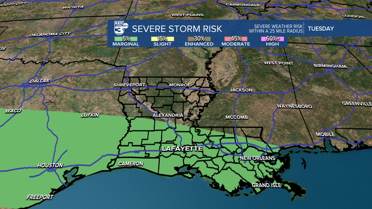
A busy week lies ahead as rain and storms are expected to move into the forecast. A stalled frontal boundary will bring high rain chances each day. In terms of timing, rain and storms are anticipated to begin around daybreak. While there is a low risk of severe weather tomorrow morning, two possible scenarios could unfold:


1. Storms maintain their strength, resulting in a few strong to severe storms in Acadiana.
2. The storms weaken as they approach Acadiana.
The environment is conducive for strong to severe storms, so it’s important to stay weather-aware. The main threats include damaging winds, large hail, and potential a brief spin-up tornado. By tomorrow afternoon, more showers and storms may develop.


We can expect rainfall totals between 1 to 3 inches, with localized amounts reaching up to 5 inches this week. Some storms may produce heavy rain at times, and according to LCH, a flood watch may be issued.

See the KATC 10 Day Forecast for the latest.
Follow Meteorologist Breyanna Lewis for further updates.
