

As mentioned yesterday, the SPC has issued a marginal (1/5) risk for isolated severe storms Saturday night, with the main threats being damaging winds and a low chance for a brief spin-up tornado.

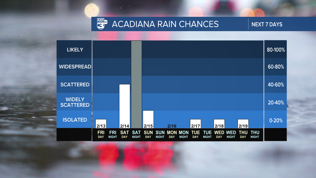
A few streamer showers are possible throughout the day, but the official line of storms pushes through before midnight (give or take an hour or two) for western parishes. Outside of any storms, it will be breezy with gusts between 20 and 30 mph. If you’re planning to be out on the town Saturday night, it might be wise to wrap things up early as these storms pass through. They’re expected to move quickly, and we anticipate them exiting the area by daybreak.


Sunday looks much better with mainly dry and mild conditions and a few lingering showers.


Regarding rainfall, while we can expect heavy downpours in some storms, most areas will see less than an inch, though isolated spots could receive up to two inches.

Be cautious of potential ponding on the roads. Acadiana is currently not under a marginal (1/4) risk for flash flooding, but Central Louisiana is.

-----
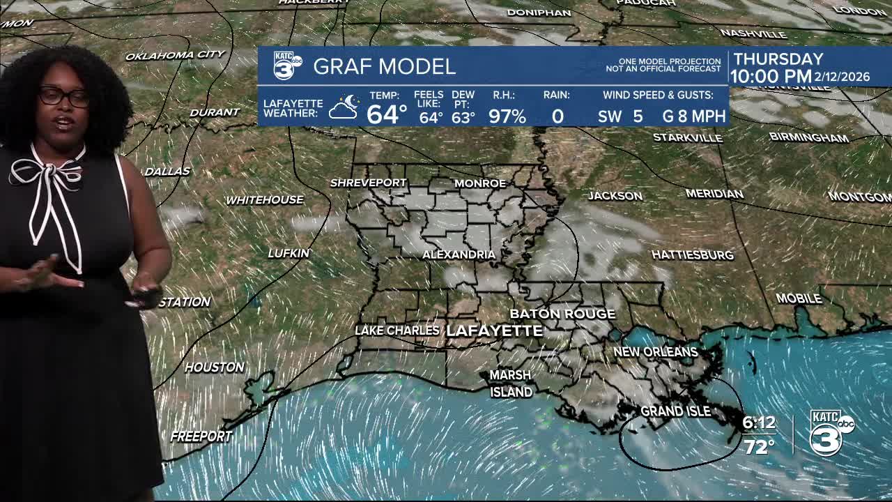
The forecast tonight looks foggy (again) with overnight temperatures in the 50s.


Highs tomorrow will be similar to what we've seen this week, hanging in the low to mid-70s.

Follow Meteorologist Breyanna Lewis for further updates.
See the KATC 10 Day Forecast for the latest.
