


New week, same hurricane! Hurricane Erin is still churning in the Atlantic, currently at a category two status with sustained winds of 110 mph.

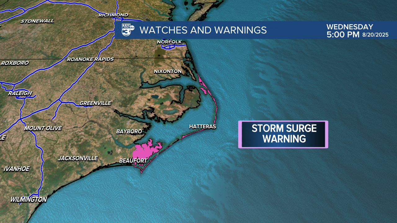
Erin is located roughly 295 miles south-southeast of Cape Hatteras, North Carolina. It is forecasted to strengthen into a major hurricane tomorrow as it tracks north and eventually northeast, maintaining hurricane strength through the weekend.

Much of the East Coast is facing life-threatening surf and rip currents this week. Specifically, the Outer Banks of North Carolina are under a Storm Surge Warning due to large waves that may produce a surge of 2-4 feet.
A Tropical Storm Warning is also in effect from North Carolina to New Jersey, where wind speeds up to 57 mph are possible. Even Bermuda is under a Tropical Storm Watch. These conditions are part of Hurricane Erin's outer rain bands, which are producing tropical storm-force winds. Fortunately, there are currently no direct impacts or landfall expected from Erin.

Meanwhile, there are two other systems in the Atlantic, including Invest 99L, which is showing signs of slow development over the next few days. A short-lived tropical depression could form from this system.

The other disturbance near the Leeward Islands is a tropical wave producing disorganized showers and thunderstorms, which may also develop into a short-lived tropical depression.

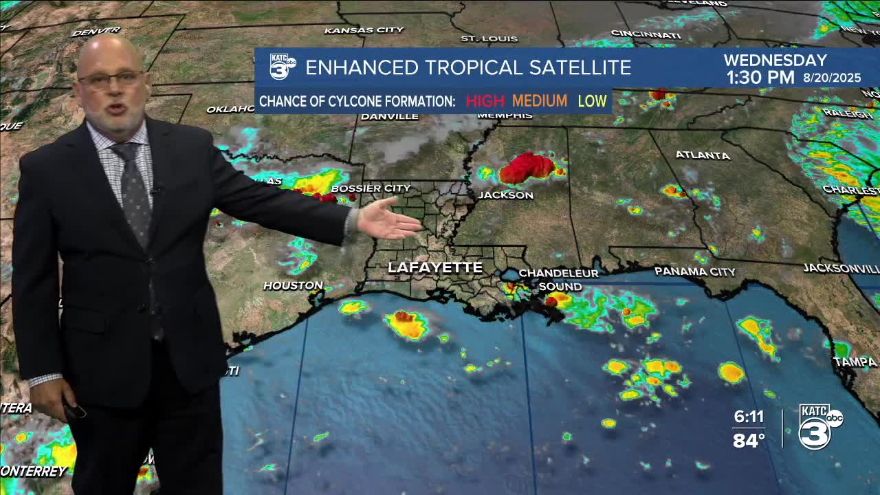
The latest on Acadiana's forecast:
Where has the month gone? We have just under two weeks left before September begins. The weather forecast has been consistent, with varying probabilities of rain each day.

Tomorrow afternoon, we can expect a higher chance of showers and storms; however, after that, rain chances will decrease through the end of the weekend. A high-pressure system will settle in on Sunday, which will lower both the rain chances and humidity.


See the KATC 10 Day Forecast for the latest.
