


Tropical Storm Cristobal has formed in the Northern Atlantic, roughly 800 miles west of the Azores Islands.

Fortunately, it poses no threat to the CONUS (Continental U.S.). Cristobal is expected to be a short-lived tropical storm, weakening into a tropical depression as it moves over cooler waters and encounters dry air along with stronger northerly wind shear.

On another note, Invest 92L makes a beeline towards the Lesser Antilles Islands.
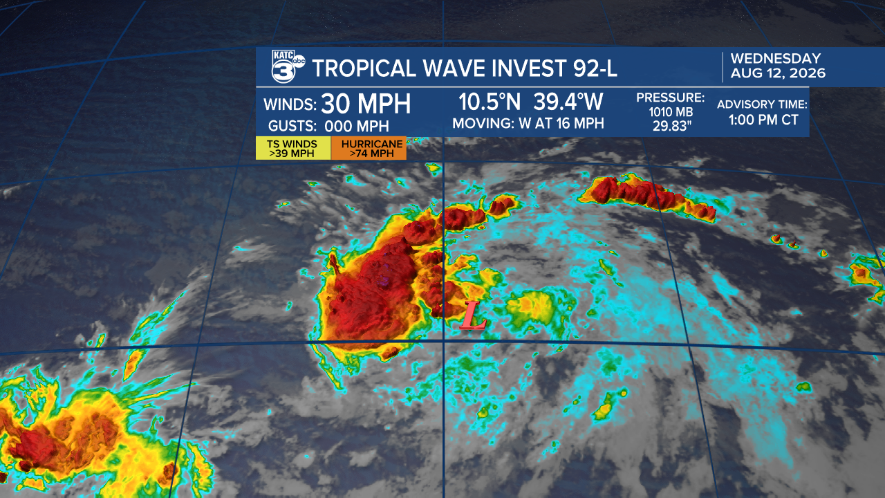
Development is looking promising, and we may have a Tropical Depression or even Tropical Storm Dolly emerge soon.


There's a tropical wave behind Invest 92L that’s generating disorganized showers and thunderstorms. The environmental conditions are ripe for development.

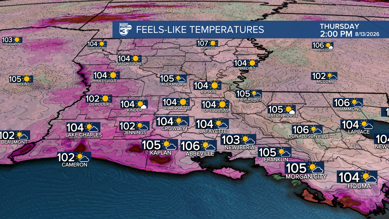
The summer heat is in full force this week as an upper-level ridge takes hold, keeping our rain chances low and temperatures soaring. We might see a few isolated showers (less than 10%) to help cool us off a bit!

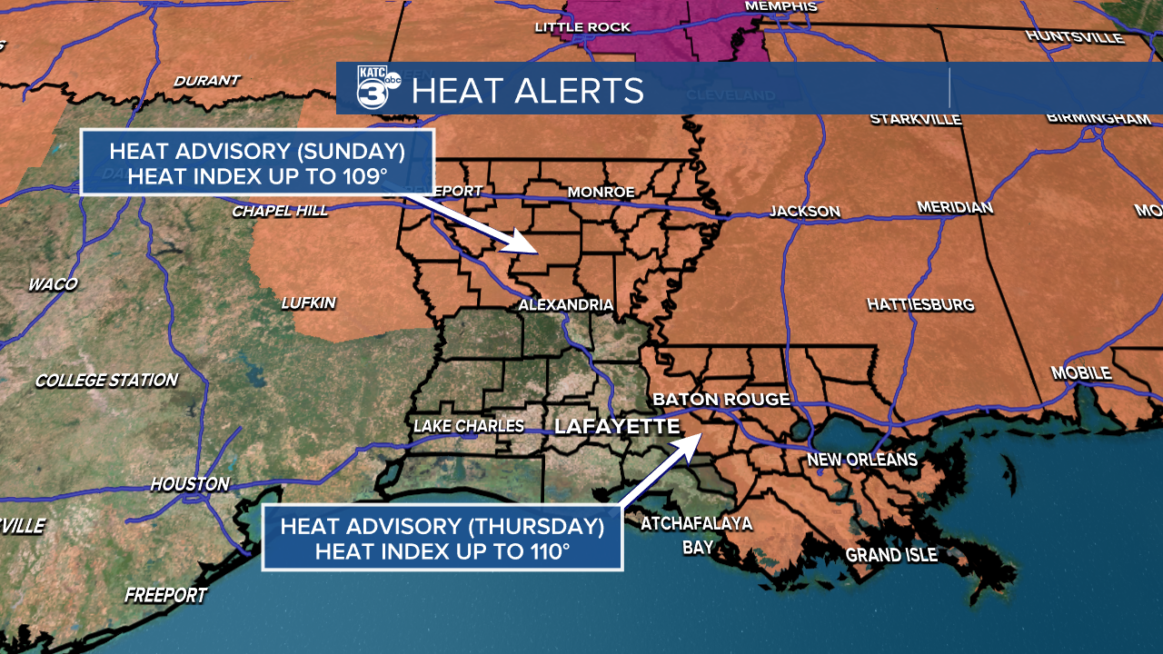
Expect highs in the low to mid-90s, with feels-like temperatures climbing up to a sizzling 107°. While the NWS in Lake Charles hasn't issued any heat alerts just yet, it's a good idea to stay hydrated and take precautions in the coming days.
Follow Meteorologist Breyanna Lewis for further updates.
See the KATC 10 Day Forecast for the latest.

