

Another gorgeous day is expected here in Acadiana with mostly sunny skies and pleasant temperatures. We'll start out cool again as most areas have dropped into the 30s and 40s for our morning lows. The combination of sunshine and light winds turning from the east, should push our temperatures into the mid 60s for daytime highs.
Overnight, a bit more cloudiness moves in, so temperatures won't be quite as cold. Expect lows in the 40s, with few 30s sprinkled in over central Louisiana. The upper level pattern will blow in from the southwest for the mid week. Considerable cloudiness will return for Wednesday and hold our afternoon high temperatures in the lower 60s.
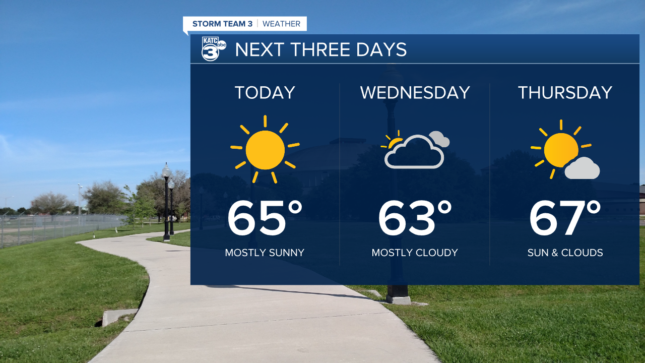
Wednesday night will be mild with lows near 50. Clouds will break up a bit for Thursday. With that extra sunshine, highs will reach the upper 60s. Friday will also be mild with a little more cloud cover. Winds will be shifting more southerly, so highs will remain in the upper 60s to near 70 degrees.

A rather complex system is taking shape for the weekend. An upper low will move out of the desert southwest across Texas through Friday. As it approaches Louisiana, the GFS solution keeps much of the rain over Acadiana Saturday morning, then a surface feature will deepen over the Gulf of Mexico keeping clouds and showers in the forecast into early Sunday. That low will strengthen along the southeast coast as it moves eastward.

Meanwhile, the EURO has a similar solution, but shifts the upper low more over the Gulf, keeping the heavier rains over water. Best chances for rain on the EURO will be Saturday morning, with rain ending by Saturday night, then bringing clearing skies for Sunday. The EURO also strengthens a surface low over the Gulf, then rolling it up the east coast for a significant Nor'easter early next week in New England.

Regardless of the solutions, both clear us out early next week. Quiet weather is expected Monday through Wednesday of next week with temperatures very close to normal for mid December.
