


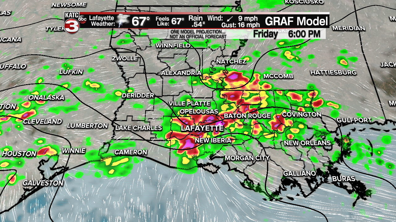
Early in the day we saw strong and severe storms. Some producing hail and gusty winds over parts of Acadiana. We're seeing a bit of a lull in the storminess during the midday time period, but bigger storms are likely again later this afternoon. Some rains are developing over the ArkLaTex, and will eventually drift toward Acadiana. Temperatures will hold in the upper 60s and lower 70s.

A flood WATCH is still in effect. Much of the area has received 3-4 inches of rain this week, Many areas have seen much more. So with rivers and bayous already high, and saturated ground, much of the rain will be runoff. So any heavy rains could cause flooding in usual areas.

There is better news ahead. A cold front will push through on Saturday. There will still be a chance for showers and a few thunderstorms through the early part of the weekend. Once this front pushes through, the moisture will be pushed toward the east, and by Sunday we'll finally see a dry day.
