


Moisture flowing in from the southeast will keep Acadiana warm and sticky for the weekend. A few showers have been noted before dawn across the Gulf of Mexico into the extreme southwestern part of Louisiana. Some of these may briefly hang on through the sunrise period. As daytime heating kicks in, those scattered storms will easily pop up farther inland later this morning.
There is plenty of moisture for the storms to work with. Pair that with the slow movement of these storms, prolonged and heavy downpours are possible. The pattern very similar to what we've seen over the past few days.

Temperatures should hold to near normal, as highs will reach the lower 90s as the storms kick up. Overnight temperatures will remain in the mid to upper 70s.
The air mass will stabilize a bit of the weekend. We're not expecting to be rain free, but a little less coverage. Saturday's chance will hold around 40%, while Sunday looks to drop to 30%. High pressure east of us will be backing in. Expect temperatures for Saturday and Sunday to reach the low to mid 90s, with lows in the 70s.
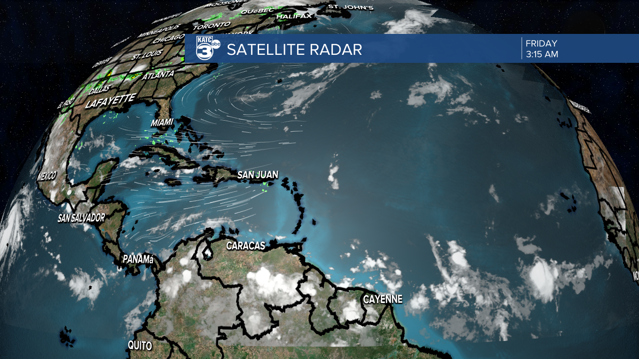
Tropical weather remains quiet. A couple of tropical waves over the Atlantic are dealing with a large amount of Saharan dust. Therefore, no tropical weather is expected to develop over the weekend. The peak of the season is about 6 weeks away, so don't get complacent with the lack of activity. Things will likely pick up over the next few weeks.
