

We're expecting another foggy night.
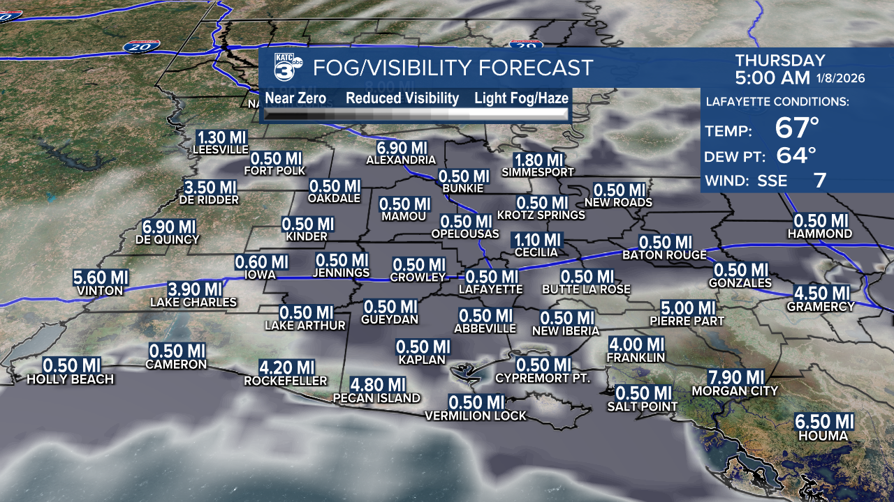
A DENSE FOG ADVISORY kicks in at midnight, so be prepared for visibility to dip below a quarter mile in areas of thick fog. Drive safely and take extra precautions if you're out on the roads.

Tonight is shaping up to be mild and foggy, with temperatures hovering in the low to mid-60s.

Tomorrow looks to be another warm day, with highs reaching the 70s and 80s!

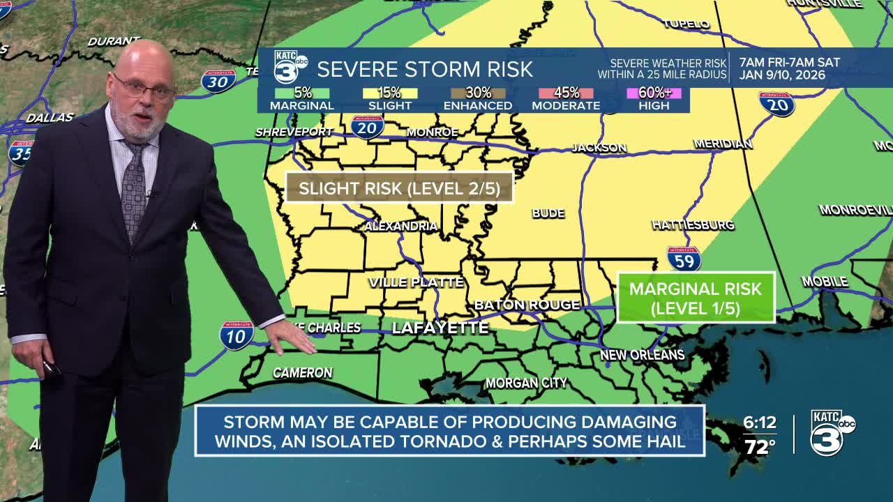
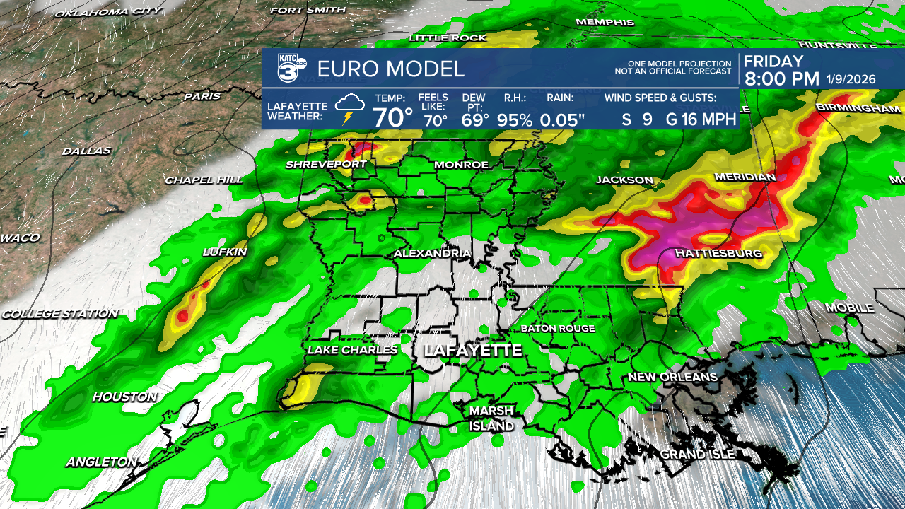
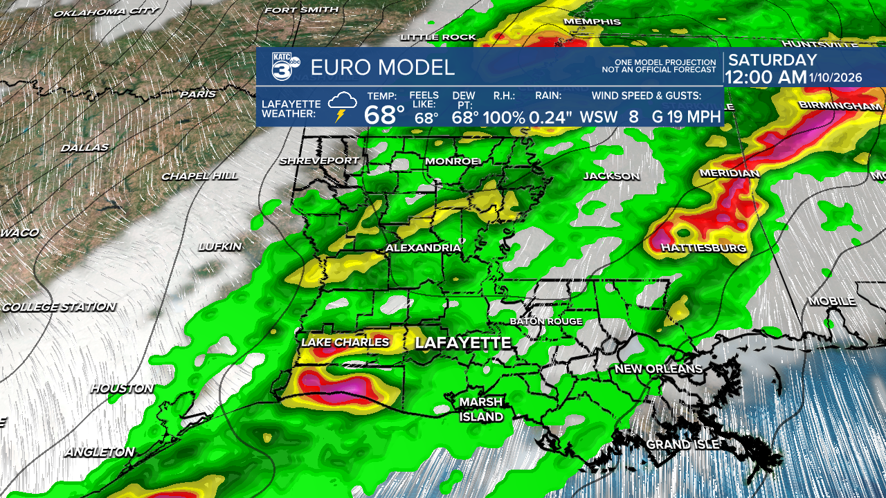
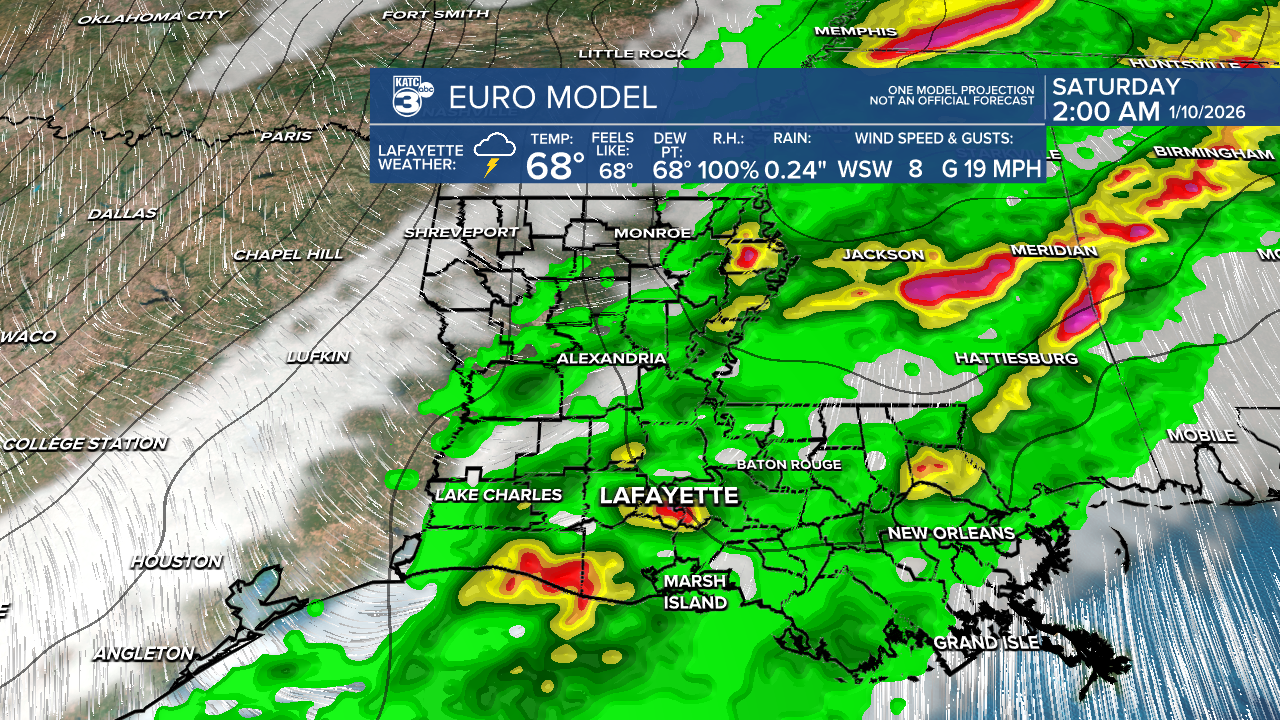
However, we need to keep an eye on the weather as we head into late Friday. There’s a slight risk (2/5) for severe weather in the northern areas of Acadiana and a marginal risk (1/5) for the southern parts.

While it's a low-end threat, we should be particularly alert for damaging winds and hail, with an isolated tornado also possible during the overnight hours. We'll likely see some decent rainfall, with totals expected between 1 and 2 inches.

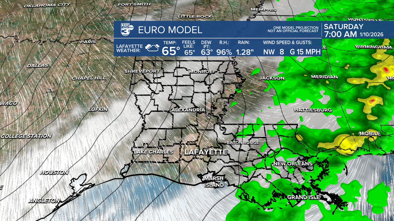
Following this cold front, we can expect a chilly airmass leading to light freezes on Monday and Tuesday mornings.
Stay weather aware!
Follow Meteorologist Breyanna Lewis for further updates.
See the KATC 10 Day Forecast for the latest.
