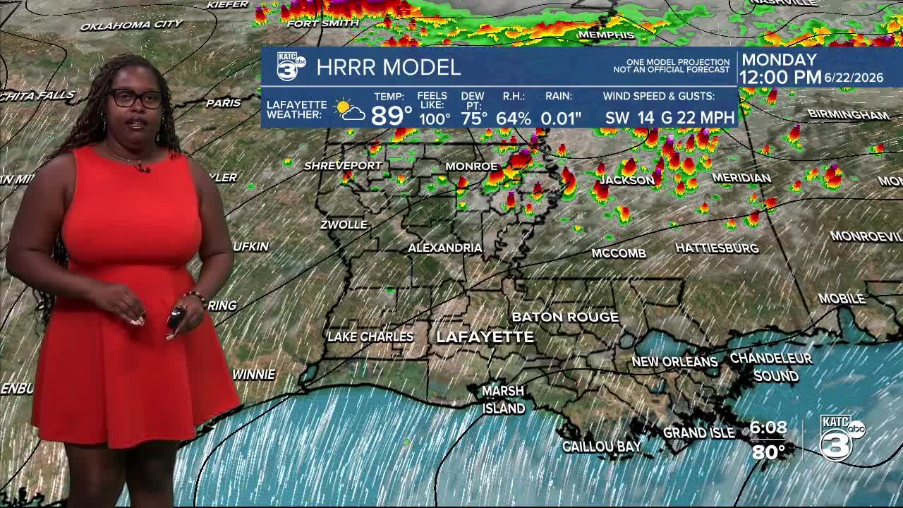


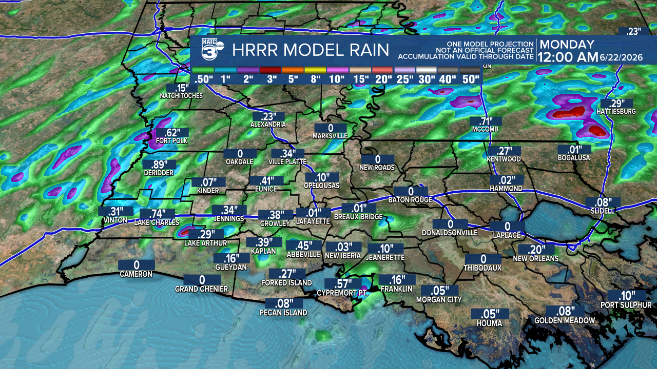
As we wrap up the weekend, elevated rain chances will continue tonight and into tomorrow. The WPC has issued a marginal risk (1/4) for flash flooding, so a few storms may bring heavy rain.

Expected rainfall amounts are up to half an inch with isolated higher amounts near one inch.
Tomorrow, we can expect highs reaching the upper 80s, with some areas potentially hitting the low 90s. Heat indices are expected to be in the upper 90s! Rain chances will decrease as we move into the week, thanks to an upper-level ridge building in! A much-needed break from last week's widespread heavy rainfall.

Tomorrow marks the official start of summer! It’s the longest day and shortest night of the year, with the sun reaching its highest point in the sky.

The tropics are quiet right now. No tropical cyclone formation is expected over the next seven days.

Follow Meteorologist Breyanna Lewis for further updates.
See the KATC 10 Day Forecast for the latest.
