


Happy Friday, everyone! The unsettled weather is finally winding down. Today's high temperatures are mainly in the low to mid-80s.

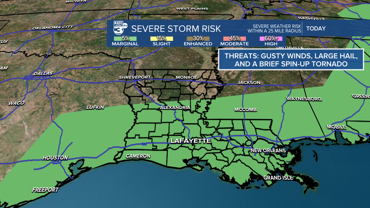
There is still a marginal (1/5) risk for severe weather, which includes gusty winds, large hail, and a brief tornado.
Showers and thunderstorms are expected to arrive this afternoon as a cold front moves through. While we won't see a major change in temperatures, we can expect slightly cooler nights, and at least the rain chances will diminish.


Expected rainfall amounts below 1" or higher than 1" in some storms.

Looking ahead to the weekend, Saturday will be mostly dry, with a small chance of rain on Sunday at around 20% for a stray shower or two. Overall, it will be mostly sunny with some clouds.

See the KATC 10 Day Forecast for the latest.
Follow Meteorologist Breyanna Lewis for further updates.
