

After a beautiful weekend, things will be transitioning this week. High pressure is moving out, while a trough of low pressure is developing to our west. This has allowed winds to shift more southerly. With extra moisture coming in off the Gulf of Mexico, fog will be developing across the area early Monday morning. This could cause some travel issues, especially over coastal areas.

Later in the day, skies will become partly cloudy. Temperatures will be warming back to near 80 degrees, but humidity levels will be higher. Therefore, the comfort levels will be dropping compared to this past weekend. Winds will increase into the 15-20 mph range this afternoon.
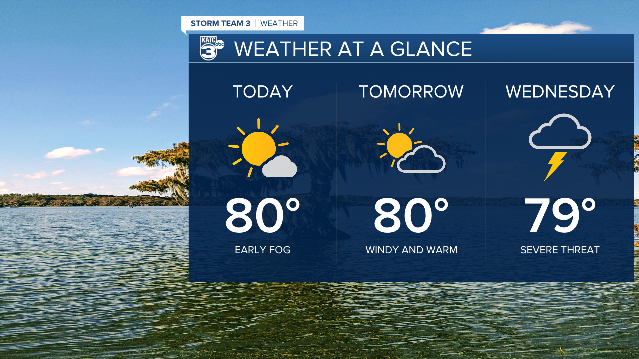
Breezes should stay up overnight, therefore, fog won't be as big of an issue. Lows will only drop into the mid 60s. Another warm and windy day expected Tuesday, highs should reach 80 degrees.

A trough will move across the area into Wednesday. With moisture in place, and a very unstable air mass, this next system could bring a round of severe weather. It also appears this will be more of a "line" of storms, rather than spotty, quick developing cells.

It seems damaging straight line winds will be the biggest threat, but tornadoes can't be ruled out. Because of the quick movement of the storms, flooding doesn't seem to be a big concern, and some small hail will be possible.

