

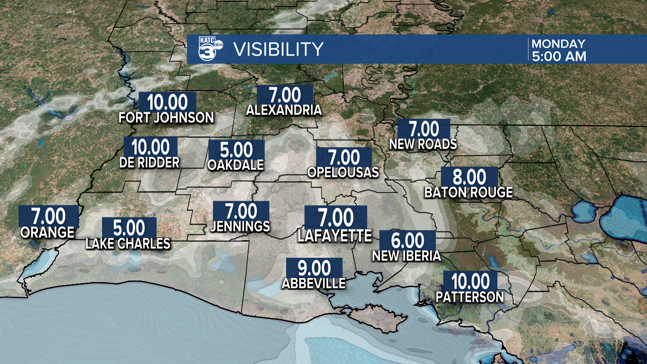
Important to note this morning there are some low visibility being reported, likely due to fog, so keep this in mind as you go through your travels this morning.
Today you are starting in the lower 70s, with humid and muggy conditions. Winds will remain out of the south with some gusty conditions at time with gusts up to about 15-18 mph.
There is a 30-50% chance of rain, primarily expected this afternoon. Some of these thunderstorms will have a chance to become severe with hail and damaging winds being a concern if they can tap into the right atmospheric conditions to get going, so be weather aware and have a way to receive alerts throughout the day. Highs wll reach into the 80s, which is yes warm for this time of year. Clouds will hang around today, and over the next few as well.

Looking ahead in your week, the SPC has a Day 1, 2, and 3 severe weather outlook hatching Acadiana into a general Severe Thunderstorm Risk so be mindful of that severe weather potential over the next few days.


Here is a look at your generalized rain chances through the week. If you're not a graph fan, that's okay. Here's the summary for you:
Rain chances are highest Tuesday through Wednesday and tapering down into the weekend.
During the day rain chances are highest in the afternoon.
Rain that does occur is expected to be isolated to scattered, rather than widespread throughout the entire area.

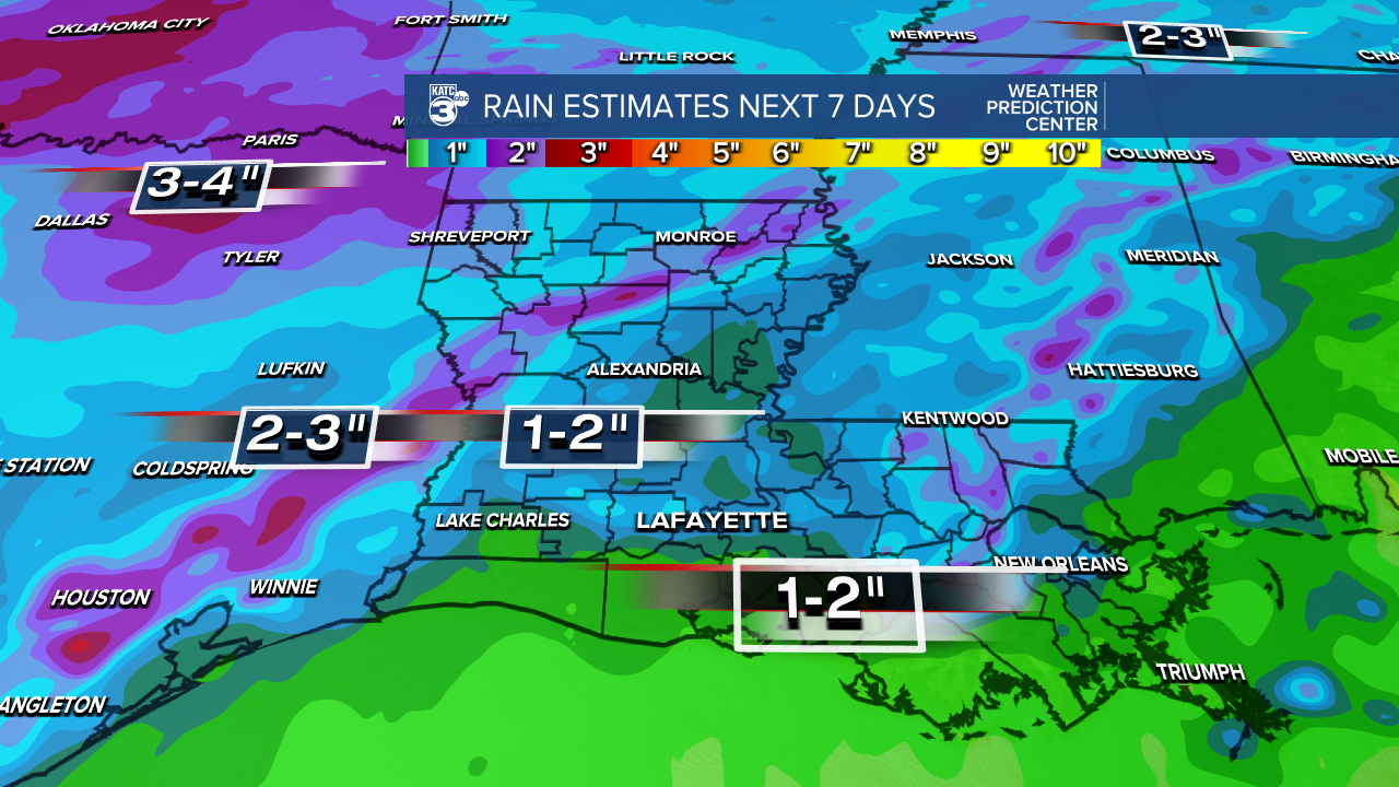
As far as 7 day estimate on total rainfall from all of these rain chances, the WPC predictions are here. Due to the daily storms remaining isolated in nature, only a general 1-3 inches is expected with some areas possibly seeing localized hot spots.
So let's take a look at what our in house only GRAF model predicts our radar to look like today through tomorrow.
You can see that cold front begin to stall out near CenLa/NE La around noon, it will the begin to retreat back northward. Notice however, in Acadiana those isolated pop up storms occurring.


Tuesday morning some showers are possible over the Acadiana area with the chance of some associated thunderstorms.

Finally, here is a look at your full 10 day forecast.

