


We made it through last night without any severe weather, although a few areas experienced some flooding. Several parishes were under a Flash Flood Warning, with rainfall amounts ranging from 4 to 9 inches.

We received two storm reports from Ville Platte and Opelousas regarding street flooding.

Tonight, expect mild temperatures in the upper 60s to low 70s.

Foggy conditions will creep in along the coast and across Acadiana. A Dense Fog Advisory could be possible, so drive safely!

Tomorrow's highs will return to the low 80s.

Rain chances will be lower for Monday and Tuesday.

No severe weather is expected for Acadiana, but a low-end threat is outlined for Northern Louisiana.

The next storm marker for Acadiana arrives on Wednesday. That day will bring the highest rain chances of the week, close to 70%. A slight (2/5) risk slides south, clipping the northern portions of Evangeline and St. Landry parishes.

We’ll keep an eye on any developments. Strong storms could be possible, especially in the afternoon and evening.


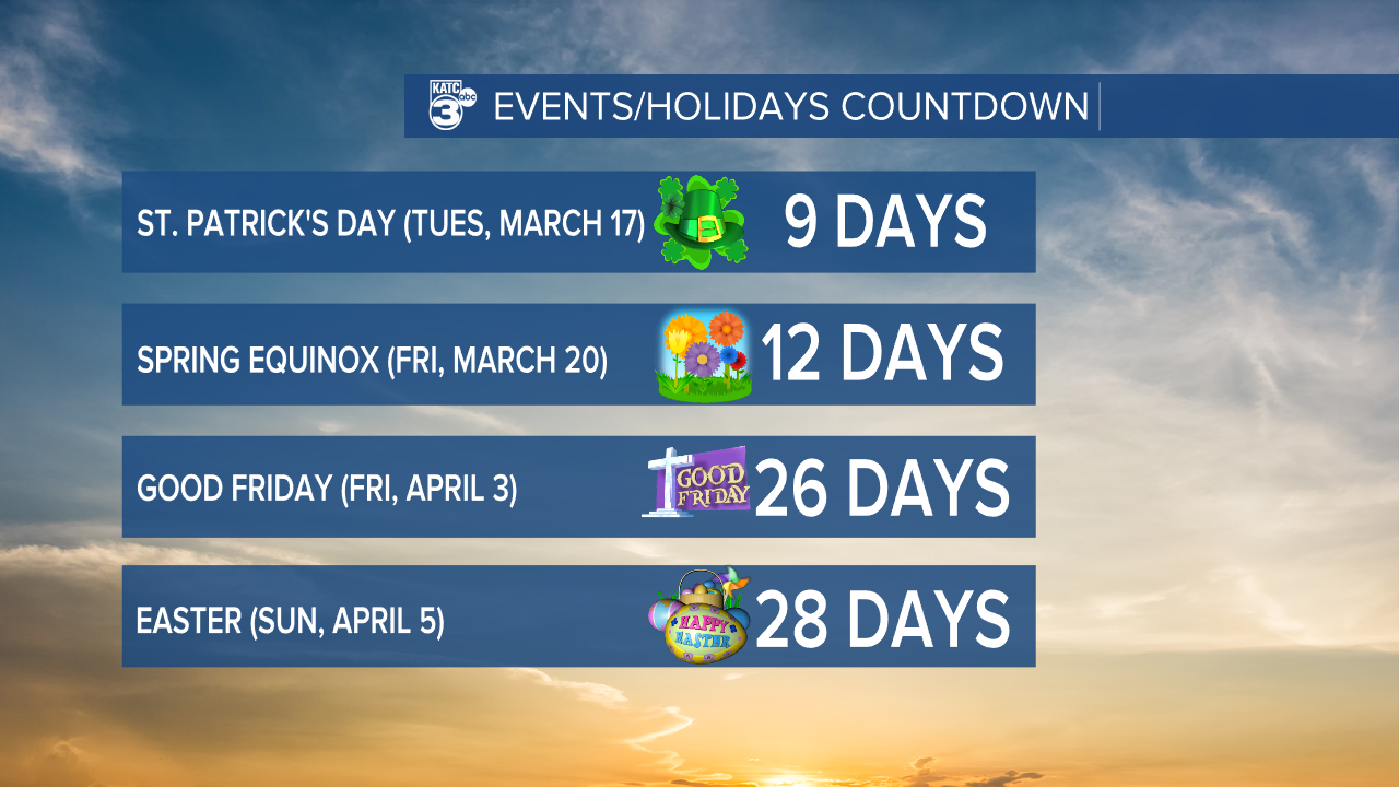
On a lighter note, Pi (π) Day is coming up this Saturday. St. Patrick’s Day is just 9 days away, and for all you spring enthusiasts, the Spring Equinox is in 12 days! And mark your calendars—Good Friday is in 26 days, and Easter is just 28 days away!
Enjoy the beautiful start to your week!
Follow Meteorologist Breyanna Lewis for further updates.
See the KATC 10 Day Forecast for the latest.
