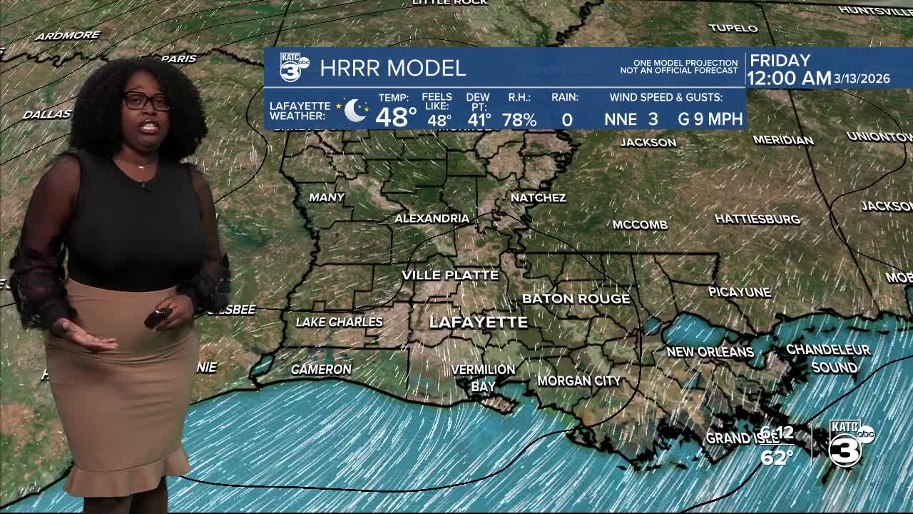


Chillier temperatures can be expected tonight, dipping into the mid-30s to low 40s.

Breyanna Lewis/KATC
The chill doesn't last long as temperatures are set to warm up into the low 70s by the afternoon.

Breyanna Lewis/KATC
This weekend looks mostly dry, but keep an eye out for Sunday night.

Breyanna Lewis/KATC
A strong cold front is on the way, increasing rain chances and the threat of severe weather. The SPC has already placed CENLA and northern Louisiana under a slight (2/5) risk.

Breyanna Lewis/KATC
The EURO model shows this will likely be a late evening...early morning situation.

Breyanna Lewis/KATC

Breyanna Lewis/KATC

Breyanna Lewis/KATC
And yes, colder temperatures will follow right behind this system! Stay tuned for more updates.
Follow Meteorologist Breyanna Lewis for further updates.
See the KATC 10 Day Forecast for the latest.
