


We’ve made it to the last Sunday of the month—can you believe how fast April flew by?
As we wrap up the weekend, the weather looks pretty calm until Wednesday when a cold front arrives overnight, bringing us some much-needed showers and a chance of thunderstorms.

We’re expecting beneficial rainfall in the range of 2 to 4 inches over the next week!

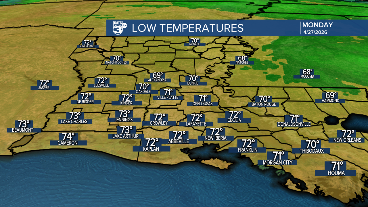
After the front passes, get ready for a big cooldown! Highs will drop into the 70s, and overnight lows will be in the 50s. But tonight, it'll be mild and muggy, with temperatures in the 70s, similar to last night.
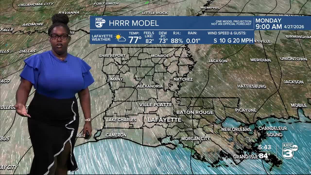
Tomorrow, expect a return to the upper 80s, with feels-like temps edging into the low 90s.


Check out the CPC Outlook for May 4th through the 10th—we’re looking at cooler-than-normal temperatures, dipping slightly below the average of 81°.

Follow Meteorologist Breyanna Lewis for further updates.
See the KATC 10 Day Forecast for the latest.
