


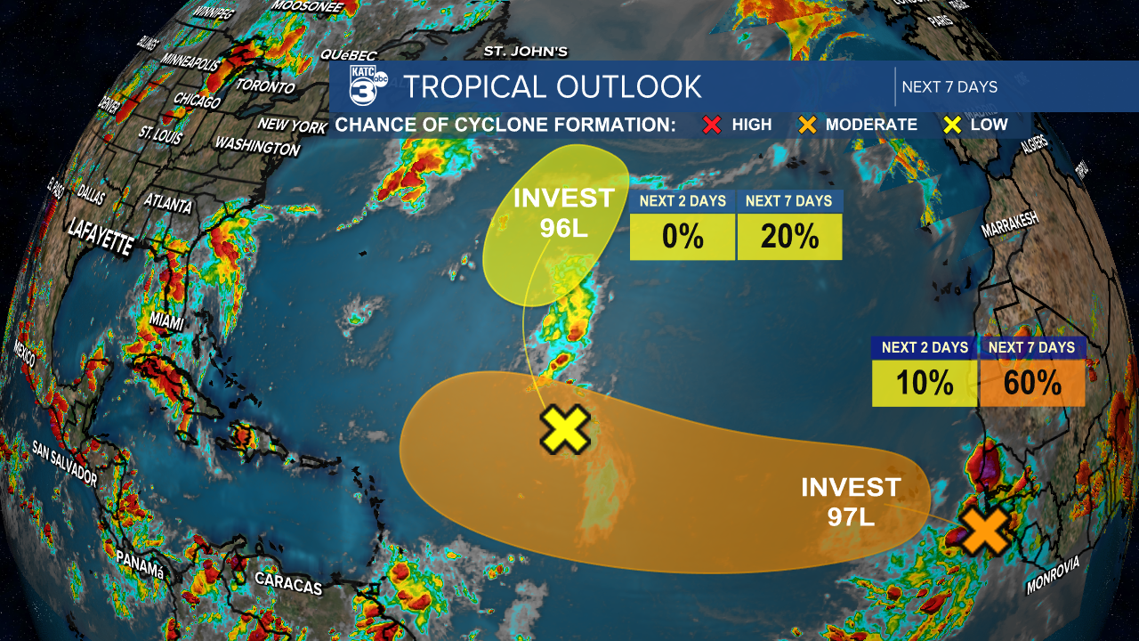
There still two tropical disturbances in the Atlantic: Invest 96L and Invest 97L.
Starting with Invest 96L, its development is likely to decrease due to dry air surrounding the system.
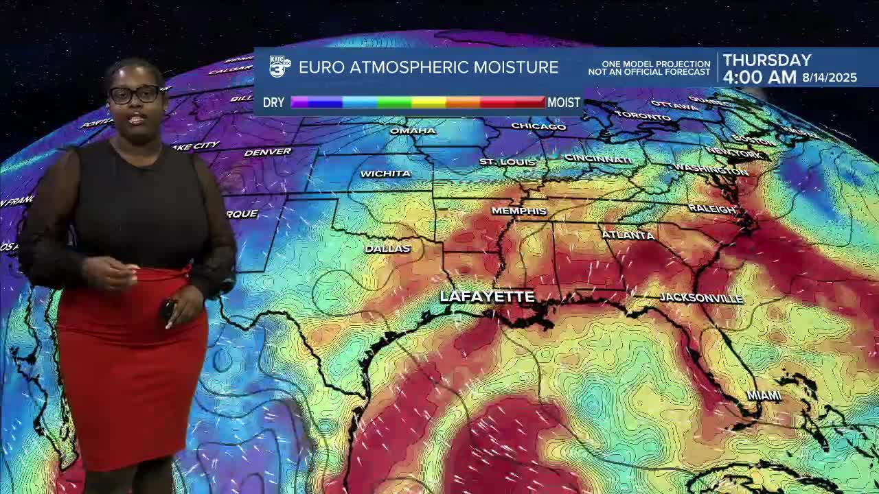
Breyanna Lewis/KATC
On the other hand, Invest 97L is a tropical wave producing disorganized showers and storms. The conditions are favorable for development, which could result in the formation of a tropical depression sometime next week as it moves towards the west. In the meantime, heavy rainfall is anticipated for the Cabo Verde Islands.

Breyanna Lewis/KATC
More rain on the way this week!
See the KATC 10 Day Forecast for the latest.
Follow Meteorologist Breyanna Lewis for further updates.
