

Near record highs will continue today as highs reach the upper 90s. Thursday's high was 99, just missing the record of 100 degrees. The record for Friday is 102 set back in 2009, and the record for Saturday is 100, also set back in 2009.

Expect sunny skies for the early part of the day, with clouds mixing in this afternoon. There will be a few cooling showers or thunderstorms out there again this afternoon, but coverage will be around 20%. Highs will reach 99 with a heat index near 106.
Over the weekend, we can expect more of the same. High pressure will remain in control, so rain chances will be minimal for Saturday with highs near 98. A front backing into the area from the northeast on Sunday may bring a bit more cloudiness and a better chance for late afternoon/evening storms, so highs will reach 97 before some of the rains move in. Heat index values over the weekend should be around 105.

Rain chances will increase next week. So with extra cloud cover, and showers beginning earlier in the day, temperatures will hold in the low to mid 90s.
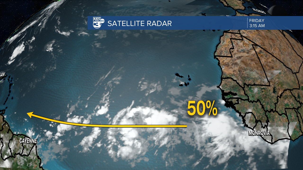
Tropical weather a bit more active as a vigorous tropical wave has moved off of the African coast. This is a bit early in the season to see this type of pattern. The wave will continue westward across the Atlantic and could affect some of the Windward Islands next week. A persistent ridge of high pressure over the middle part of the Atlantic should drive the wave westward toward Central America in a little over a week. The National Hurricane Center is putting a 50% bet on development over the next five days.
