
The weather pattern for Acadiana screams “summer” as we head closer, and into the unofficial start to summer, the Memorial Day Weekend.
The stormy pattern across Mid-America will continue well to our north keeping a little bit of a breeze in the area Thursday while high pressure will gradually bank into the area from the east closer to the weekend.
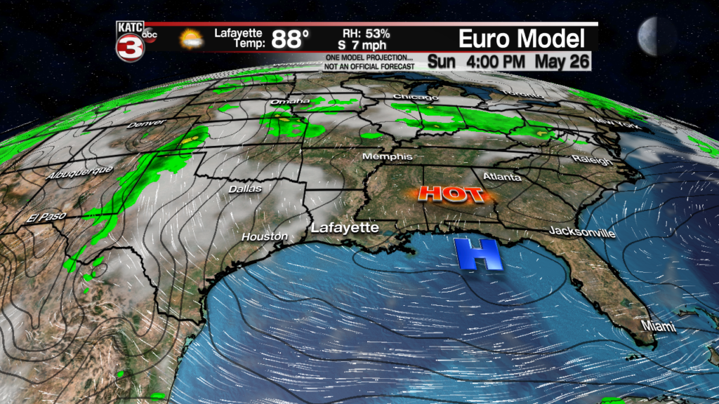
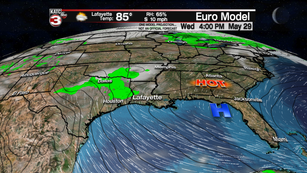
This will keep our rain chances at 10% or less through mid-next week and gradually allow for more sun and less clouds, especially for this weekend.
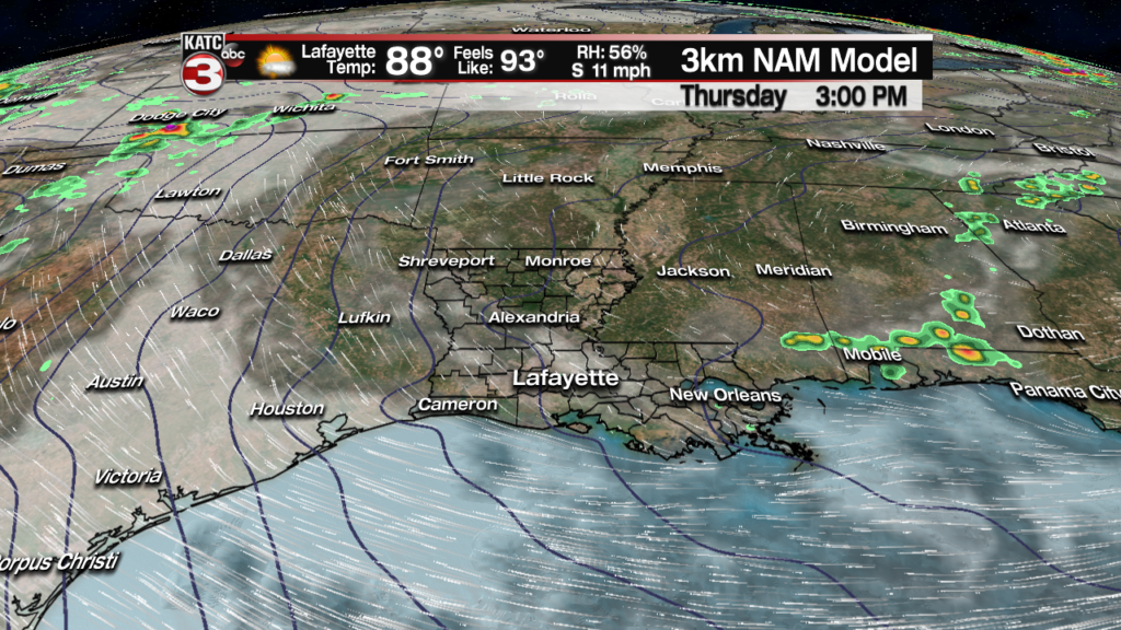
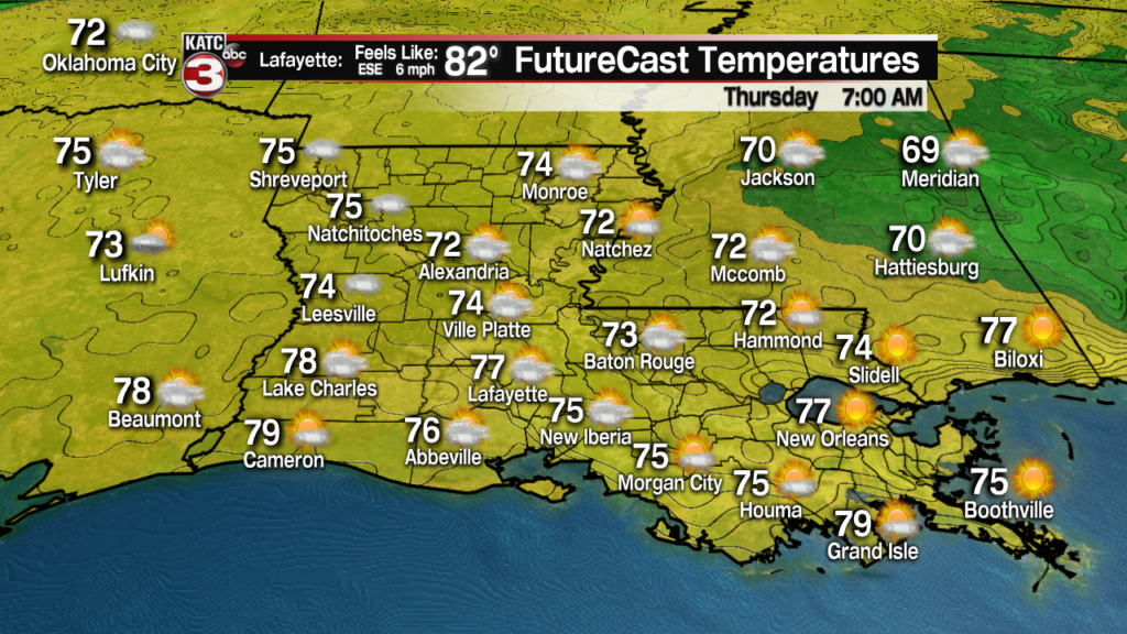
In the near term, look for another rather warm and humid night into Thursday morning with temperatures bottoming out in the mid-upper 70s.
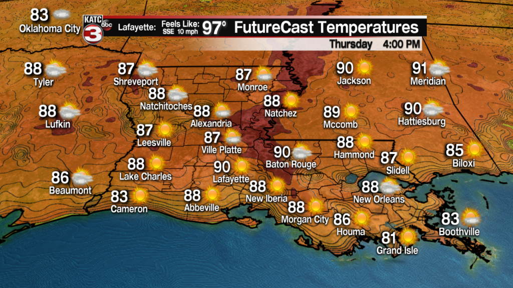
And after a round of morning cloudiness Thursday, expect more intervals of sunshine, and a lesser breeze than the last couple of days to allow temperatures to push into the lower 90s.
It will be a few degrees cooler closer to the coast.
Heat indices (yes it’s time for that graphic once again) will be pushing the upper 90s.

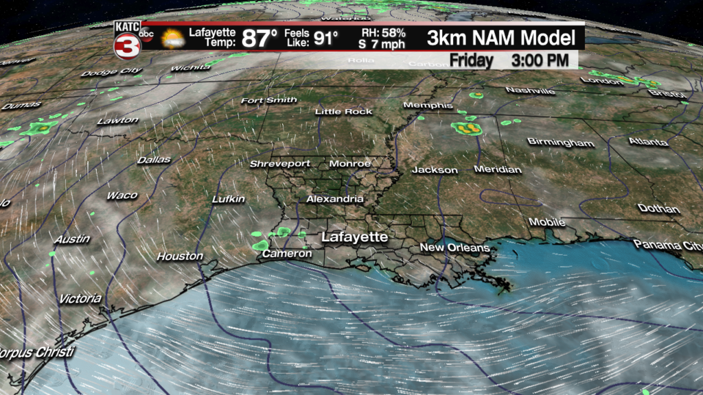
More of the same is expected for Friday.
Rain chances the rest of the week and into the weekend (and perhaps at least until next Thursday) should be in the 5-10% range or less.
And with high pressure exerting most of its muscle across the region this weekend, look for daytime highs to climb into the 92-93F degree rang Saturday through Tuesday.
There are some hints that the ridge of high pressure should flatten and drift back to the east later next week, which could open the door for a few afternoon showers beyond Wednesday.
The GFS model does hint at a slight chance of a weak front in two weeks, but that might just be wishful thinking…we’ll see.
Stay cool! The latest 10 Day Forecast.
