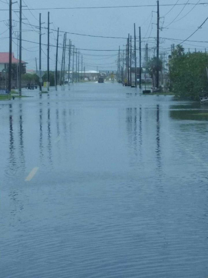
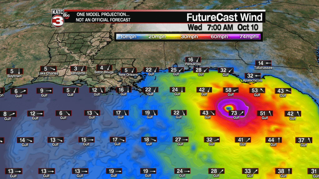
The entire Louisiana Coast continued under flood advisories for higher than normal tides associated with major Hurricane Michael in the Eastern Gulf of Mexico.
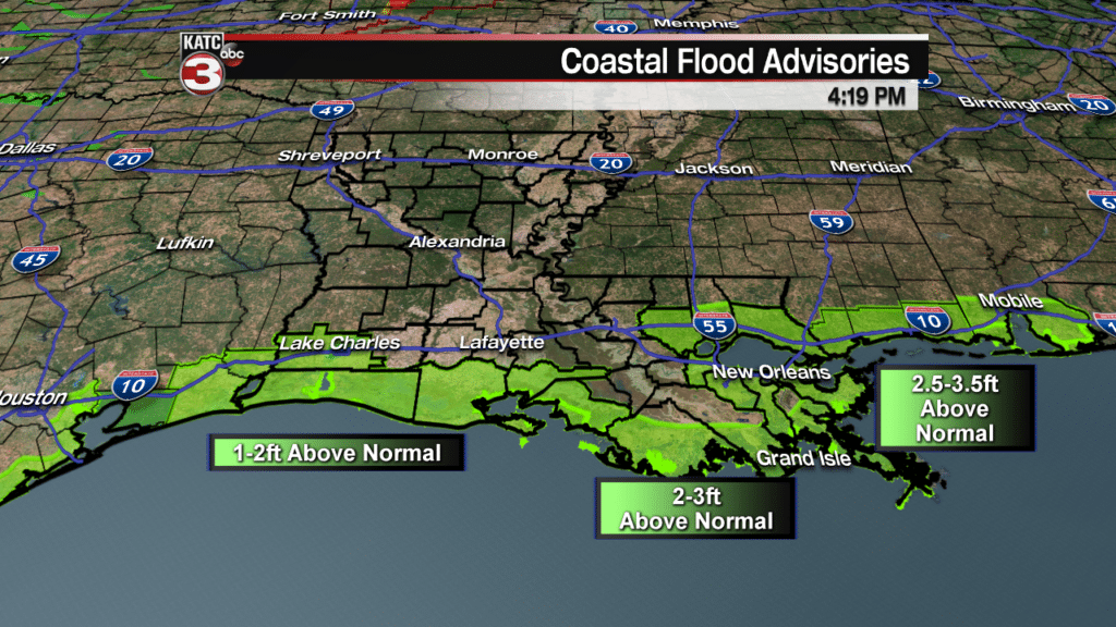
At play are two key factors as of Tuesday afternoon:
1) a hurricane with its large bulge of water working its way northward through the entire Gulf (which starting pushing tides above normal this past weekend), and..
2) fresh easterly winds and higher than normal swells piling up water on the eastern facing shores of Louisiana where water rise will be at its highest through the next 24 hours.
As of Tuesday afternoon tides at Grand Isle (pictures below) were 2 feet above normal.
Photo Courtesy: Chris Roberts
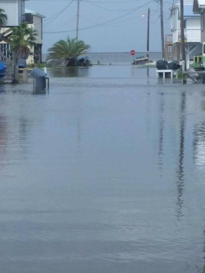
Latest tide information from Grand Isle here.

As of Tuesday afternoon tides at Fresh Water Canal in Vermilion Parish and Cypremort Point in St Mary Parish were running 1-2 feet above normal.
Fresh Water CityLatest Fresh Water Canal tides here.
For all Louisiana Tides, follow this link.
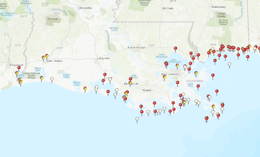
As winds gradually turn northerly and Michael makes landfall Wednesday, tide levels will return to, and perhaps go below normal Wednesday night into Thursday.
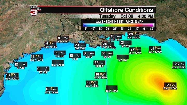
Latest Offshore Conditions and FutureCast Winds:


