As we flip the calendar to October it looks like we are going to get rid of the rainy weather that plagued the region the whole month of September.
But with the clouds and rain going away and sunshine returning across Acadiana this week it is back to the warm and humid conditions.
Highs this week will be topping out in the upper 80s and lower 90s each afternoon with feel like temperatures climbing back into the mid to upper 90s.
Futurecast Temperatures
Also, as we go back to more of a summertime pattern this week with high pressure to our east our winds will flip back out of the ESE pushing a daily sea breeze over the region producing the slight chance for a few pop-up showers each afternoon.
Futurecast Radar
Looking at the extended forecast into next weekend and the following week there are no fronts that look to head our way so temperatures will stay on the warm side in the mid to upper 80s.
Thus, those ready for some fall-like weather you are going to have to wait at least another 10+ days before we see any cool air head our way.
- – – – – – – – – – – – – – – – – – – – – – – – – – – – –
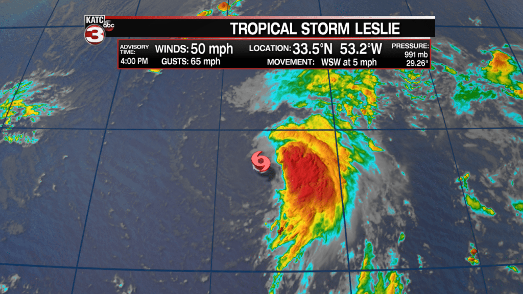
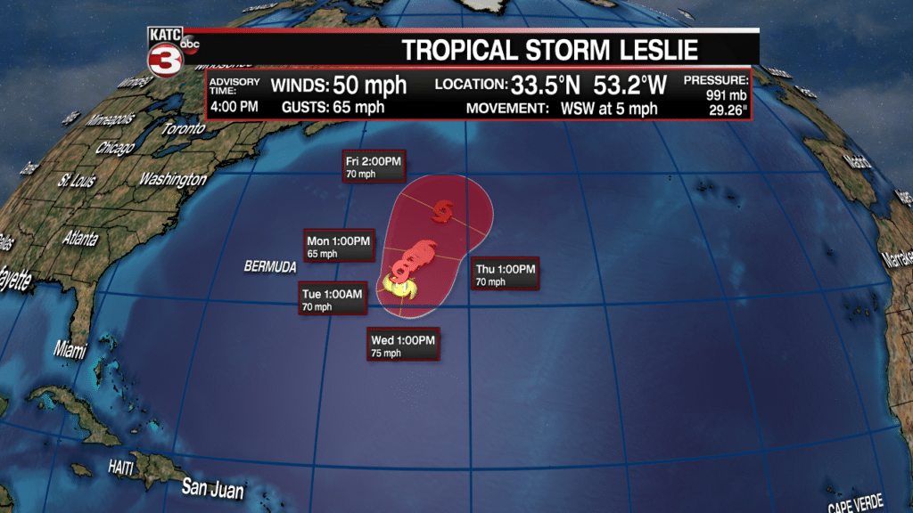
Out in the Atlantic Tropical Storm Leslie continues to spin over the open waters with 50 mph winds.

This week Leslie will slowly work off to the WSW out in the central Atlantic and is projected to strengthen to a hurricane by Tuesday or Wednesday.

After Wednesday Leslie will get caught up in a tough and lift back up to the north weakening as runs into a bit more wind shear and cooler waters over the northern Atlantic.
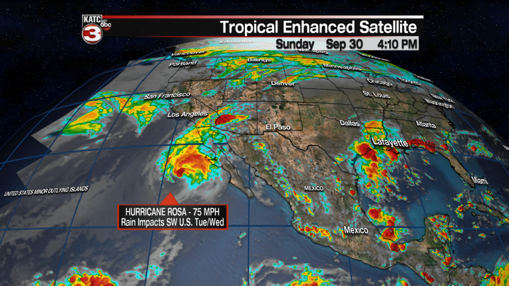
In the Eastern Pacific Hurricane Rosa is weakening has it pushes farther to the north along the Baja of California.

Monday Rosa should make landfall across the northern portion of the Baja as a tropical storm with winds near 50-60 mph.
The system will then push up into the Southwest US Tuesday and Wednesday producing showers and storms across portions of Arizona, Southern California and New Mexico.


